What is recorded here
On a slight E-facing slope, on the E side of a broad hillock, in pasture to the NE of Lattin village. A moated site (TS058-045----) is located 100m to the NW. A flat-topped circular earthen mound (diam. top 9m; base 37m; H 5.4-7.2m) with steeply sloping sides. The summit is level and well-spaced mature Douglas fir trees are growing across the monument.
Compiled by: Jean Farrelly
Date of upload: 26 August 2011
A Neolithic mound barrow; significant as a funerary monument of the early farming communities in the region.
The monument record does not grant public access. Check the route and ask the landowner before entering private land.
- What survives
- Recorded monument
Places near here
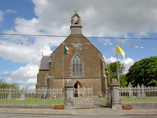 Catholic Church of the Assumptionchurch/chapel · 297 yd
 grottogrotto · 502 yd
 Ladys WellHoly well · 662 yd
 Enclosure in Lattin WestEnclosure · 1000 yd
 CastleCastle, ringwork · 1511 yd
 MoatCastle, motte · 1.9 mi
 SlievenamuckMountain / peak · 3.3 mi
 Carn (site of)Cairn, burial cairn · 3.8 mi
 Bansha ForestForest · 4.0 mi
 Oola HillMountain / peak · 4.2 mi
 Darby's Bed Walk LoopWalking route · 4.8 mi
 Saint Patrick's WellSpring · 6.2 mi