What is recorded here
In improved pasture, on a gentle S-facing slope, overlooking an old, rushy flood plain, c. 4m to SSW. A low, circular mound (dims. 3.85m NNE-SSW; 4m WNW-ESE) defined by scarp (Wth 1.35m; H 0.25m) and slight traces of an outer fosse in places. The interior has a shallow depression within. Monument identified during fieldwork in 2009.
Compiled by: Jean Farrelly
Date of upload: 26 August 2011
A Neolithic embanked barrow; its low, circular mound and surrounding scarp suggest a funerary or ceremonial function typical of early prehistoric burial practices in the region.
The monument record does not grant public access. Check the route and ask the landowner before entering private land.
- What survives
- Recorded monument
Places near here
 Garranacanty MoatCastle, motte · 908 yd
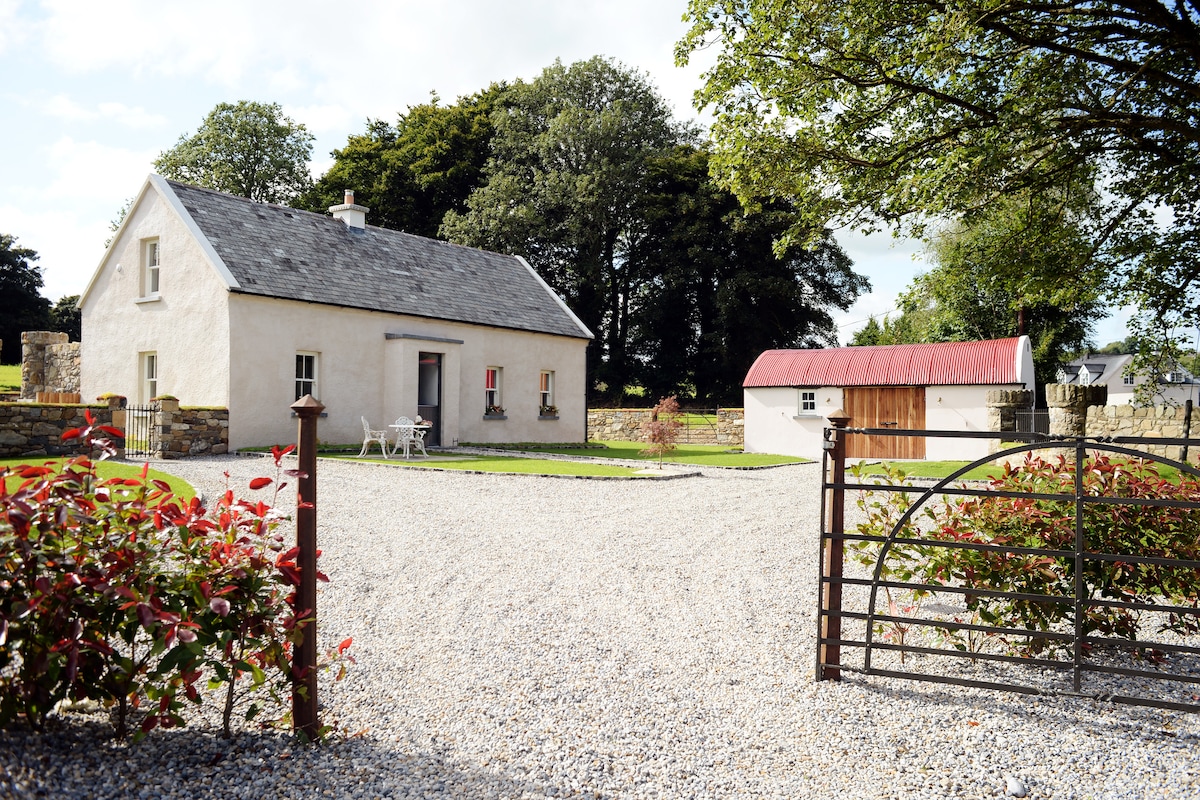 Enclosure in Ballyhusty,drumclieveEnclosure · 1056 yd
 Enclosure in FriarsfieldEnclosure · 1123 yd
 Friarsfield Househouse · 1173 yd
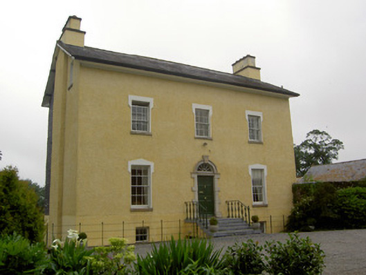 The Gleberectory/glebe/vicarage/curate's house · 1691 yd
 European ashEuropean ash · 1.0 mi
 CastleCastle, ringwork · 1.1 mi
 I.R.A. 3rd. Tipperary Brigade MemorialMemorial · 1.2 mi
 It's a long way to TippereryHeritage attraction · 1.8 mi
 The Maid of ErinMemorial · 2.0 mi
 The RockViewpoint · 3.7 mi
 Christ the KingViewpoint · 4.4 mi