What is recorded here
Situated in pasture, which overlooks lower ground to N. Barrows (WM020-113----/114----) lie c. 14m to S and c. 30m to SE, respectively. Not depicted on the 1837 ed. OS 6-inch map or on the revised 1913 ed. OS 25-inch map. Barely visible monument described in 1970-2 as a roughly circular-shaped area (diam. 5m N-S; 4.8m E-W) defined by a narrow, shallow fosse with no visible trace of a bank. Monument is not visible on Digital Globe aerial photography.
See attached OS 25-inch map showing location of barrow.
Compiled by Alison McQueen, Vera Rahilly and Caimin O’Brien.
Date of upload: 08 July 2019
A ditch barrow, likely dating to the Early Bronze Age. Its presence suggests a local funerary tradition and possible links to broader burial practices in the region.
This remains an important historical record, but the official description says the monument is no longer visible or has been destroyed. The monument record does not grant public access. Check the route and ask the landowner before entering private land.
- What survives
- No visible remains or recorded as destroyed
Places near here
 CastleCastle, tower house · 826 yd
 Bawn in Kerinstown and Balrowan (rowley)Bawn · 871 yd
 EnclosureEnclosure, large enclosure · 953 yd
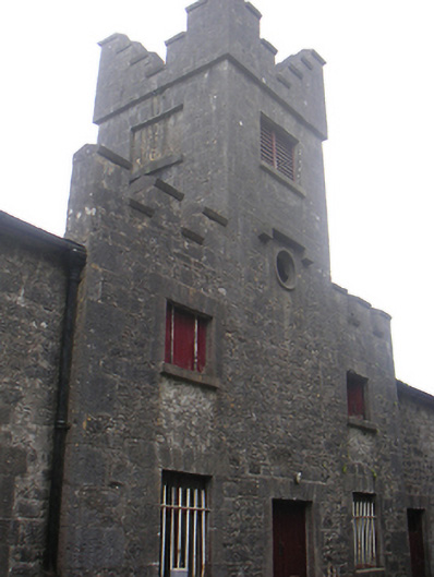 Lisnabin Castlestables, outbuilding · 971 yd
 TobermíonadHoly well · 1127 yd
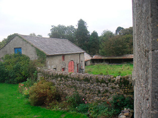 Huntingdon Houseoutbuilding · 1626 yd
 GinkgoGinkgo · 3.8 mi
 ScregganWood · 6.2 mi
 Croppies' GraveMemorial · 9.0 mi
 Site of ChurchChurch · 1726 yd
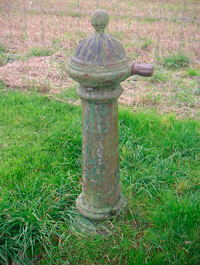 water pumpwater pump · 1.0 mi
 Partially HachuredFairy fort / earthen ringfort · 1.1 mi