What is recorded here
In improved pasture, on a NE-facing slope overlooking wet marshy ground to NE. Low profile circular area (dims. 4.2m N-S; 4.3m E-W) defined by remains of shallow fosse (Wth 2m; D 0.15m). Interior tilts downslope to NE with prevalent slope. Identified as a ring-ditch on Bruff 29 aerial photograph survey (Aerial 2036?). Ditch barrow (TS066-016003-) c. 36m to W.
Compiled by: Jean Farrelly
Date of upload: 26 August 2011
A ditch barrow, likely dating to the Early Bronze Age. Its construction reflects early funerary practices in the region, though its wider significance remains unclear due to limited contextual information.
The monument record does not grant public access. Check the route and ask the landowner before entering private land.
- What survives
- Recorded monument
Places near here
 Enclosure in Lattin NorthEnclosure · 156 yd
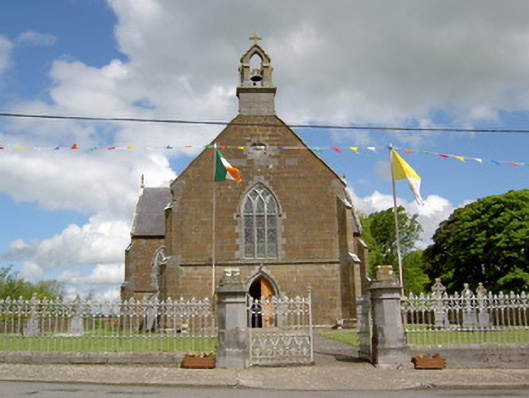 Catholic Church of the Assumptionchurch/chapel · 1054 yd
 Enclosure in Lattin WestEnclosure · 1102 yd
 grottogrotto · 1119 yd
 CastleCastle, ringwork · 1.1 mi
 Site of Castle LoaghnyCastle, unclassified · 2.1 mi
 Carn (site of)Cairn, burial cairn · 3.6 mi
 SlievenamuckMountain / peak · 3.9 mi
 Oola HillMountain / peak · 4.1 mi
 Bansha ForestForest · 4.6 mi
 Darby's Bed Walk LoopWalking route · 4.9 mi
 St Patrick's WellSpring · 5.9 mi