What is recorded here
On an E-facing slope, off the crest of a flat hillock in undulating terrain, in pasture. There are good views to the E and S, though limited by trees and the view N and W is limited by a ridge. A circular enclosure visible on satellite imagery (Google Earth satellite imagery, 16 December 2016), identified and reported by Jean-Charles Caillère. A low circular flat-topped mound (diam. 7.3m; H 0.1-0.15m) enclosed by a shallow fosse (Wth 2m; D 0.1-0.15m). One of a group of four ditch barrows, TS067-136---- is 30m to the N; TS067-137--- is 40m to the NE, and TS067-139---- is c. 20m to the NE.
See attached:
TS067-138----_01 Overview from N
TS067-138----_02 Overview from SE
TS067-138----_03 Google Earth satellite imagery, 16 December 2016
Compiled by: Jean Farrelly
Date of upload: 26 January 2021
The monument record does not grant public access. Check the route and ask the landowner before entering private land.
- What survives
- Recorded monument
Places near here
 Garranacanty MoatCastle, motte · 262 yd
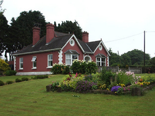 The Bungalowhouse · 998 yd
 Enclosure in ReddanswalkEnclosure · 1006 yd
 I.R.A. 3rd. Tipperary Brigade MemorialMemorial · 1041 yd
 Site of Corroge ChurchChurch · 1327 yd
 CastleCastle, ringwork · 1352 yd
 Friarsfield Househouse · 1450 yd
 It's a long way to TippereryHeritage attraction · 1.2 mi
 The Maid of ErinMemorial · 1.4 mi
 European ashEuropean ash · 1.6 mi
 The RockViewpoint · 3.3 mi
 Christ the KingViewpoint · 4.0 mi