What is recorded here
On top of a slight rise on a very slight SE-facing slope on the S side of the interior of an enclosure (TS065-063012-) with a ditch-barrow (TS065-063011-) 12m to the N on the N side of the enclosure. Identified on aerial photograph (Bruff 68, 5/2041). Circular area (diam. 5m) defined by a very shallow fosse (overall Wth 2.8-3.2m; Wth at base 0.6m; D 0.05-0.15m). The interior is level, dry and clear of overgrowth. Due to the underlying natural slope, external ground level is slightly higher than the interior at NW and is flush elsewhere.
Compiled by: Jean Farrelly
Date of revised upload: 15 September 2014
A Neolithic ditch barrow, dating to approximately 3500–2500 BCE, associated with early funerary and ritual practices in the British Isles. Its location within an enclosure suggests a ceremonial or territorial significance.
The monument record does not grant public access. Check the route and ask the landowner before entering private land.
- What survives
- Recorded monument
Places near here
 Enclosure in ChancellorslandEnclosure · 120 yd
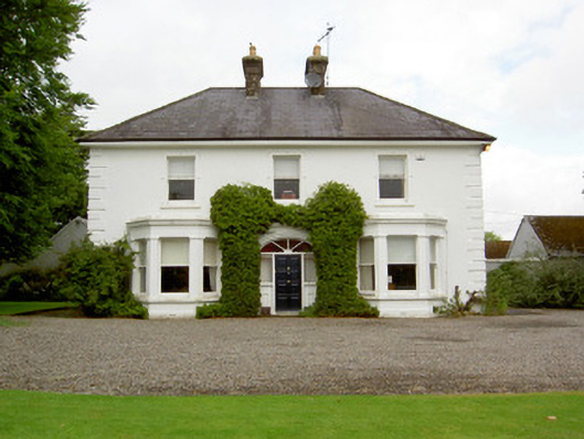 Farranasa Househouse · 1302 yd
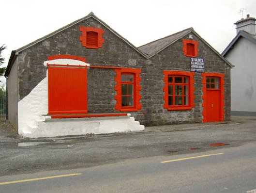 Saint Ailbe's Creamerycreamery · 1535 yd
 St. Peters WellHoly well · 1.0 mi
 Glebe Ho.Castle, unclassified · 1.3 mi
 CastleCastle, motte · 2.3 mi
 Kilteely HillMountain / peak · 3.7 mi
 St. Patrick's WellSpring · 4.0 mi
 St Patrick's WellSpring · 4.1 mi
 Flat cemetery in Knockainy WestFlat cemetery · 4.6 mi
 Oola HillMountain / peak · 5.4 mi
 Ballinvreena LoopVisitor information · 7.1 mi