What is recorded here
On a gentle S-facing slope of a golf course. Subcircular grass-covered platform (dims 3.3m N-S; 2.3m E-W) defined by a shallow fosse (Wth of top 2-2.5m; D 0.1-0.2m) NE-S-NW. Rath (RO029-035----) is c. 30m to the SW.
Compiled by: Michael Moore
Date of upload: 24 August 2010
A ditch barrow, likely dating to the Early Bronze Age. Its presence indicates a funerary tradition associated with early field systems and social organisation in the region.
The monument record does not grant public access. Check the route and ask the landowner before entering private land.
- What survives
- Recorded monument
Places near here
 Church (in Ruins)Church · 801 yd
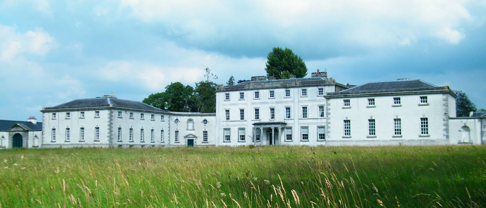 Enclosure in ScramogeEnclosure · 1175 yd
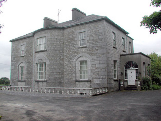 The Gleberectory/glebe/vicarage/curate's house · 1325 yd
 Strokestown ParkHeritage attraction · 1331 yd
 Enclosure in CloonrabrackanEnclosure · 1394 yd
 Strokestown House GardensHeritage attraction · 1610 yd
 Common LimeCommon Lime · 1.0 mi
 Pedunculate OakPedunculate Oak · 1.2 mi
 CastleCastle, unclassified · 1.6 mi
 Slieve BawnMountain / peak · 3.4 mi
 Leitrim CastleCastle, unclassified · 5.1 mi
 Commons North WalkVisitor information · 7.6 mi