What is recorded here
On a gentle NW-facing slope, in reclaimed pasture. Enclosures (LI024-271/135---) lie 107m to NW and 185m to SW, respectively. Not depicted on OS historic mapping. Monument identified as a circular-shaped cropmark by the Bruff aerial photographic survey in 1986 (Bruff 99: AP 4/3677). Monument is visible as a circular-shaped cropmark (approx. diam. 20m) on Google Earth orthoimages taken 18/11/2018. See attached Google Earth orthoimage and Bruff aerial image labelled Bruff 99.
From the National Monuments Service (Archaeological Survey of Ireland) record LI024-136
The monument record does not grant public access. Check the route and ask the landowner before entering private land.
- What survives
- Recorded monument
Places near here
BarrowBarrow, ring-barrow · 291 yd HighstreetHouse · 581 ydToberagaddySpring · 746 ydKilduff CastleCastle · 911 ydKilduff Castle (in ruins)Castle, tower house · 913 ydMount CatherineHouse · 1192 ydE. O'DwyerHouse · 1415 ydPallas Grean Constabulary BarrackRic barracks · 1458 ydStation HouseRailway station · 1462 ydhotel1489 ydKnockseefinMountain / peak · 1.9 miStanding stone in Longstone (cullen Par.)Standing stone · 3.9 mi
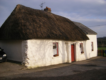 HighstreetHouse · 581 ydToberagaddySpring · 746 yd
 Kilduff CastleCastle · 911 yd
 Kilduff Castle (in ruins)Castle, tower house · 913 yd
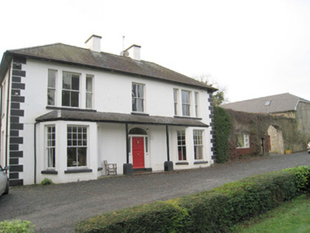 Mount CatherineHouse · 1192 yd
 E. O'DwyerHouse · 1415 yd
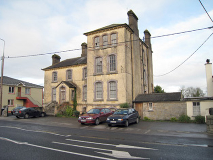 Pallas Grean Constabulary BarrackRic barracks · 1458 yd
 Station HouseRailway station · 1462 yd
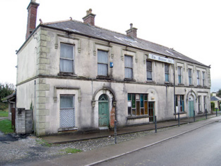 hotel1489 ydKnockseefinMountain / peak · 1.9 mi
 Standing stone in Longstone (cullen Par.)Standing stone · 3.9 mi
Pictures: National Inventory of Architectural Heritage; Mike Searle, Wikimedia Commons · CC BY-SA 2.0; Graham Horn, Geograph · CC BY-SA 2.0; P L Chadwick, Geograph · CC BY-SA 2.0; EamonnPKeane, Wikimedia Commons · CC0
More archaeology and monuments in County Limerick · All of County Limerick
What do you know about this place?