What is recorded here
In wet, low-lying pasture. Depicted as a small circular enclosure with the designation 'Fort' on the 1837 ed. of the OS 6-inch map. A circular, steep-sided mound of earth and stone (diam. at base 14m; H 1.2-1.4m) encircled by a shallow fosse (Wth 2m; D 0.2-0.3m). At the outer lip of the fosse are fragmentary traces of a possible bank. The top of the mound is slightly dished (D 0.2m). Four mature oak trees are growing on the monument.
Compiled by: Patrick F. O'Donovan
Date of upload: 26 August 2011
Bowl barrow, likely dating to the Early Bronze Age. Its construction and location reflect a typical funerary monument of the period, used for single or multiple burials.
The monument record does not grant public access. Check the route and ask the landowner before entering private land.
- What survives
- Recorded monument
Places near here
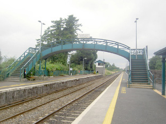 Edgeworthstown Railway Stationfoot bridge, bridge · 346 yd
 Edgeworthstown BypassMemorial · 727 yd
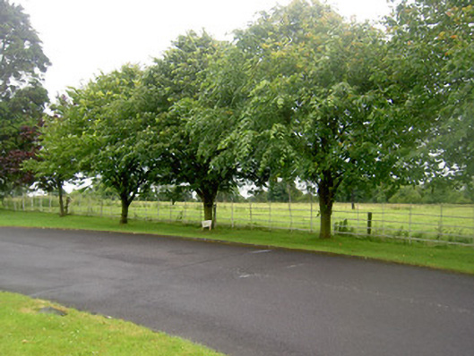 Edgeworthstown Housegates/railings/walls · 779 yd
 BarrowBarrow, mound barrow · 794 yd
 Enclosure in ShantumEnclosure · 843 yd
 MoatawardCastle, motte and bailey · 1187 yd
 MoatCastle, motte · 1.4 mi
 Oldtown DemesneForest · 3.6 mi
 Oldtown CopseWood · 3.6 mi
 Granard MotteMotte-and-bailey castle remains · 7.5 mi
 1798 Monumentmonument · 7.6 mi
 Graveyard in Curry (ardagh By., Coolamber Ed)Graveyard · 8.8 mi