What is recorded here
Situated on W facing slope of a ridge in undulating grassland. Present remains consist of a circular shaped flat-topped earthen mound (top diam. 10.8m N-S x 13.2m E-W; H 1m) enclosed by a fosse (Wth 1.9m) with external low bank (Wth 2m; H 0.15m). The fosse and bank have been levelled from NE-SE.
Compiled by: Frank Coyne and Caimin O'Brien
Date of upload: 24 July 2018
Bowl barrow, likely dating to the Early Bronze Age. Its construction and fosse indicate a significant ceremonial or funerary function in the prehistoric landscape.
The monument record does not grant public access. Check the route and ask the landowner before entering private land.
- What survives
- Recorded monument
Places near here
 CastleCastle, unclassified · 715 yd
 Tober LuibeHoly well · 980 yd
 DardistownCastle, unclassified · 1115 yd
 Church in DardistownChurch · 1182 yd
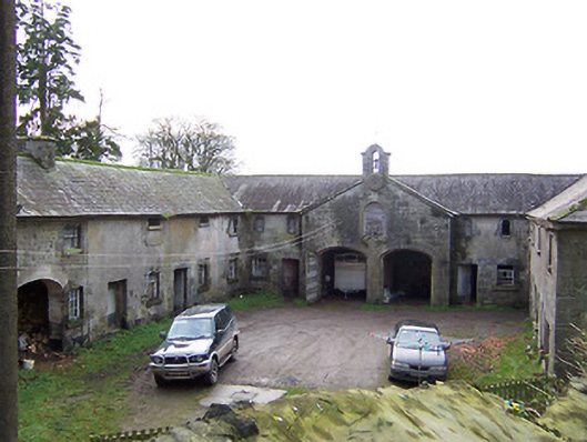 Rockview Housestables · 1299 yd
 Enclosure in BallygillinEnclosure · 1638 yd
 GinkgoGinkgo · 1.4 mi
 ScregganWood · 4.7 mi
 Kells HillMountain / peak · 7.7 mi
 Seafin HillMountain / peak · 8.6 mi
 Croppies' GraveMemorial · 11 mi
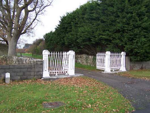 Dysart Housedemesne walls/gates/railings · 1302 yd