What is recorded here
Buttevant barracks lost most rooms but kept its eastern gate, ordnance stones and one ivy-covered central wall. That wall now divides an industrial estate from a GAA playing field, turning military ground into a living boundary. The lost rooms may have held soldiers, nurses or officers, but the surviving line still marks the shape of the camp beneath modern use.
On S bank of Awbeg River, at NW side of Buttevant. Fragmentary remains of early-19th century military barracks. Shown on 1842 OS 6-inch map as square 'ordnance ground' (c. 280m sq.) containing 'Infantry Barracks' consisting of three long ranges of buildings on N, W and S side of square; square divided by central range (long axis N-S) and a number of smaller ranges along perimeter (see also plan in McCullough and Mulvin 1987, 108). Similarly shown on 1906 OS 6-inch map with 'hospital', 'ball alley', 'pump house' and 'church' also named. Interior buildings now demolished or reduced to piles of rubble, except ivy-clad side wall of central range, which stands to half-way up 1st-floor level- many blocked window opes evident. This range had a central archway topped by cupola (Mould 1991, 108). This wall now forms boundary between industrial estate to W and clubhouse and playing field of Buttevant GAA club to E. Most of high stone enclosing wall intact, with cut-stone arched entrance gateway, flanked by ordnance stones, in centre of E wall. Across road from barracks on S side are ranges of late-19th-century residential houses formerly associated with barracks.
The above description is derived from the published 'Archaeological Inventory of County Cork. Volume 4: North Cork' (Dublin: Stationery Office, 2000). In certain instances the entries have been revised and updated in the light of recent research.
Date of upload/revision: 14 January 2009
The monument record does not grant public access. Check the route and ask the landowner before entering private land.
- What survives
- Recorded monument
Places near here
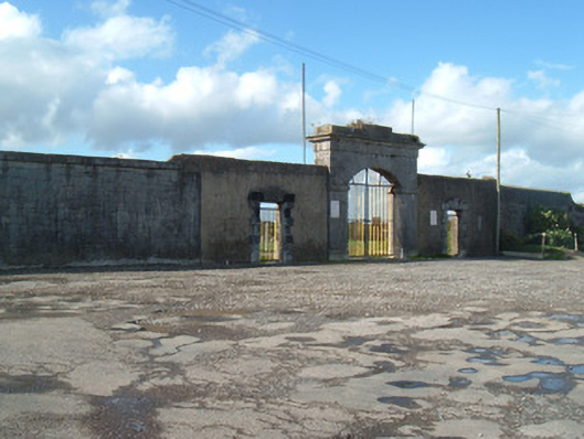 barracksbarracks · 133 yd
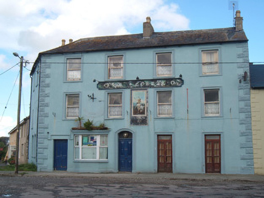 OK Corrallhotel · 156 yd
 David HurleyMemorial · 436 yd
 SycamoreSycamore · 438 yd
 Buttevant Rail DisasterMemorial · 690 yd
 Town defences in ButtevantTown defences · 741 yd
 Burial ground in Spital (orrery and Kilmore By.)Burial ground · 789 yd
 Lombards CastleCastle, tower house · 847 yd
 Ballinguile Castle (in Ruins)Castle, tower house · 1.5 mi
 Rogan's Rock CovertWood · 2.2 mi
 Lady's WellSpring · 3.3 mi
 Smith's WellSpring · 3.6 mi