
What is recorded here
Four or five grave markers still stand beside the road, marking a burial ground connected to the nearby leper hospital. Quarry men and road workers have repeatedly broken through the top soil, forcing bones to be recovered and carried elsewhere. The dead remain tucked beneath ordinary traffic, waiting for humanity to remember them.
On E side of road, on S side of disused quarry and to N of leper hospital (14629). Area known locally as graveyard; four or five upstanding grave markers remembered. Bones found here near 'top of ground' when quarry was being worked (OS Field Memoranda, 1932). According to local information, during road resurfacing c. 1959, some bones were found and reinterred at Buttevant Friary (14382). No visible surface trace of burial ground. Probably associated with hospital.
The above description is derived from the published 'Archaeological Inventory of County Cork. Volume 4: North Cork' (Dublin: Stationery Office, 2000). In certain instances the entries have been revised and updated in the light of recent research.
Date of upload/revision: 14 January 2009
The monument record does not grant public access. Check the route and ask the landowner before entering private land.
- What survives
- Recorded monument
Places near here
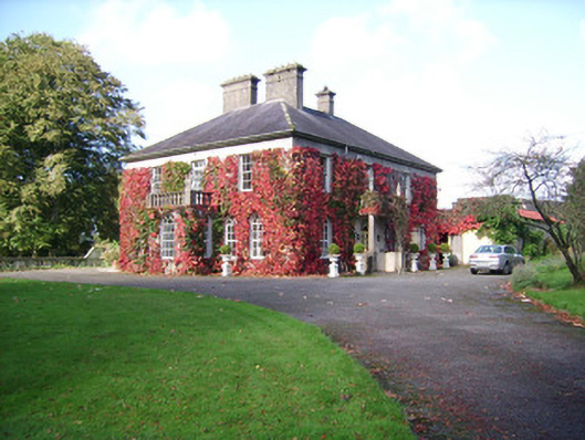 Rathclare Househouse · 411 yd
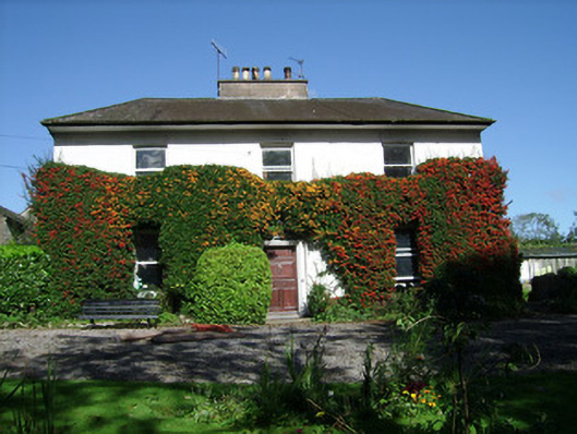 Spitalfieldshouse · 558 yd
 David HurleyMemorial · 782 yd
 SycamoreSycamore · 783 yd
 Field system in RathclareField system · 883 yd
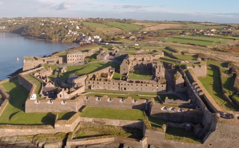 Enclosure in Lackaroe (orrery and Kilmore By., Buttevant Par.)Enclosure · 883 yd
 Lombards CastleCastle, tower house · 1263 yd
 Buttevant Rail DisasterMemorial · 1351 yd
 Ballinguile Castle (in Ruins)Castle, tower house · 1.3 mi
 Rogan's Rock CovertWood · 1.7 mi
 Smith's WellSpring · 3.3 mi
 Lady's WellSpring · 3.8 mi
Other information
Photo: Credit not shown in the picture search · Rights wording not checked; contact us if this picture should be removed