
What is recorded here
Ballinguile Castle stands as a ruined four-storey tower on a rocky outcrop above flat marshy terrain in County Cork. Built for the Stapletons and later held by Percival and Freeman, the structure still shows brick arches spanning collapsed windows and a curved recess that may have hidden a circular stair. The missing walls and broken fireplaces leave gaps in the story, but the surviving stone suggests a busy household where bread baked in the corner oven and floors creaked above narrow slit windows.
On rock outcrop, in flat marshy terrain. Rectangular four-storey tower (9.3m E-W; 7.25m N-S) with later house (6.5m E-W; 8.5m N-S) added to E end of S wall; low footings extending c. 3m N from tower, indicate presence of additional former structure. Only W end of tower survives to full height of 4 storeys, with short returns of N wall (2.6m) and S wall (2.15m). Gap (Wth c. 1.75m) in W wall extends vertically from ground level almost to apex of gable, where it is spanned by brick arch; evidently original windows on each floor replaced by wider embrasures with brick jambs, whose sills and lintels subsequently collapsed. Original double-splayed lintelled slit window survives on ground floor at W end of S wall; inserted door in W wall; wall-press at W end of N wall; badly damaged fireplace in NW corner at 2nd-floor level; external tiered cornice at eaves level on N and S walls similar to cornice on W wall of added structure and probably contemporary with it. Added house missing long section of W wall. Ground-floor entrance door at N end of E wall, with wide breach to S. Central fireplace in S wall missing its E side; brick-built bread oven in SE corner. Narrow window at S end of W wall. Rows of narrow, closely spaced joist sockets in E and W walls show level of wooden floors. Blocked window in E wall at 1st-floor level; traces of fireplace at E end of S wall, window at W end; window in S gable on each side of fireplace at attic level. At S end of E wall of tower house, near junction with later house, curved recess in wall at ground level with brick inclusions seems to be inserted feature, possibly remains of circular stairs tower. Castle of the Stapletons, passed to Percival in 17th century and subsequently to Freeman (Grove White 1905-25, vol. 1, 96). Shown as house on Down Survey (1655-6) (1655-6) barony map.
The above description is derived from the published 'Archaeological Inventory of County Cork. Volume 4: North Cork' (Dublin: Stationery Office, 2000). In certain instances the entries have been revised and updated in the light of recent research.
Date of upload/revision: 14 January 2009
Ballinguile Castle was built in the late 15th or early 16th century by a local Gaelic family, likely the MacCarthy Reagh dynasty, who controlled much of west Cork and Kerry. Its strategic position on a rock outcrop in a marshy area made it a defensible stronghold in a region marked by clan rivalries and conflicts during the late medieval period.
The monument record does not grant public access. Check the route and ask the landowner before entering private land.
- What survives
- Recorded monument
Places near here
 Burial Ground (Disused)Burial ground · 833 yd
 Velvetstown Housedemesne walls/gates/railings · 878 yd
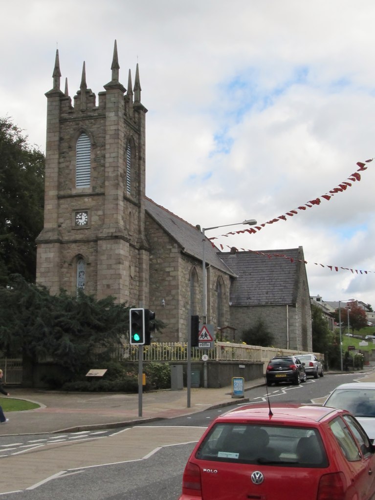 Kilbroney Church (in Ruins)Church · 1077 yd
 Man-made underground passageMan-made underground passage · 1189 yd
 Templeconnell Castle (in Ruins)Castle, tower house · 1.4 mi
 Buttevant Rail DisasterMemorial · 1.5 mi
 Rogan's Rock CovertWood · 1.5 mi
 David HurleyMemorial · 1.7 mi
 SycamoreSycamore · 1.7 mi
 Castle (Site of)Castle, unclassified · 1.9 mi
 Ballyhoura WayWalking route · 2.0 mi
 Lady's WellSpring · 3.9 mi
Other information
Photo: Credit not shown in the picture search · Rights wording not checked; contact us if this picture should be removed