
What is recorded here
Detached two-storey with attic house, built c. 1780, having five bays to first floor and four bays to ground floor, with recent lower three-bay two-storey lean-to extension to rear. Pitched slate roof with rendered end chimneystacks having string courses, and dormer windows to rear elevation with hipped roofs. Pebbledashed walls, painted smooth rendered to plinth and south gable, with smooth render platband below first floor sill level and to corners of building. Concrete barges and kneelers to gables. Square-headed timber sliding sash windows with painted sills, six-over-six pane to first floor of front elevation, paired margined two-over-two pane to ground floor of front, one-over-one pane to attic level of south gable and one to rear elevation, two-over-two pane to dormer windows and latticed casement windows to attic level of north gable. Extension has uPVC windows. Segmental-headed door opening with replacement timber panelled door, and cobweb fanlight. Single-storey, lofeted and two-storey outbuildings to yard at rear have hipped and pitched slate and corrugated-iron roofs, painted rendered and painted rubble stone walls, and square-headed openings with sheet metal doors and timber-framed windows. Painted ruled-and-lined rendered piers and walls to site entrance, with recent timber gates.
The asymmetrical fenestration, simple pitched roof with end chimneystacks, and simple doorway mark this out as a large farmhouse rather than a small country house. The retention of timber sash windows adds a patina of age to the building, and an interesting textural counterpoint to the dashed and smooth render. Set in mature grounds, the outbuildings to the rear provide a context to and enhance the dwelling house.
From the Buildings of Ireland (National Inventory of Architectural Heritage) record 22208609
This does not grant access. Most recorded buildings are privately owned; view them only from public ground unless the owner allows entry.
Places near here
Photo credits
- National Inventory of Architectural Heritage
- Martin Richard Phelan, Wikimedia Commons · CC BY-SA 2.0
- john salter, Geograph · CC BY-SA 2.0
- A copy of this photograph is owned by National Library of Ireland and can be viewed here [1], Wikimedia Commons · Public domain
- Miguel Angel Masegosa Martínez, Wikimedia Commons · CC BY 2.0
- Ivar Leidus, Wikimedia Commons · CC BY-SA 3.0 ee
- Mike Searle, Wikimedia Commons · CC BY-SA 2.0
IndicatedHoly well · 1439 ydEnclosure in NewcastleEnclosure · 1605 yd water pump1.2 miwell1.3 miRonald Reagan CentreHeritage attraction · 1.3 miLyrefune HillMountain / peak · 1.3 miMitchelstown CaveCave · 2.8 miCarran HillMountain / peak · 3.0 miShanbally CastleCastle · 4.0 miSweet Chestnut4.1 miNorway Spruce4.2 miBurncourt CastleCastle · 4.2 mi
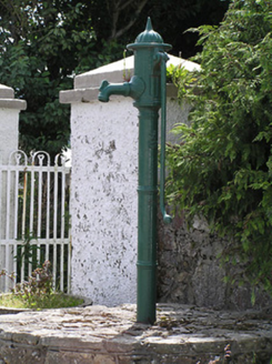 water pump1.2 mi
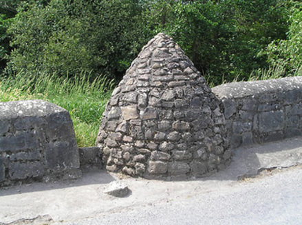 well1.3 miRonald Reagan CentreHeritage attraction · 1.3 miLyrefune HillMountain / peak · 1.3 mi
 Mitchelstown CaveCave · 2.8 mi
 Carran HillMountain / peak · 3.0 mi
 Shanbally CastleCastle · 4.0 mi
 Sweet Chestnut4.1 mi
 Norway Spruce4.2 mi
 Burncourt CastleCastle · 4.2 mi
More historic places in County Tipperary · All of County Tipperary
What do you know about this place?