What is recorded here
From the National Monuments Service (Archaeological Survey of Ireland) record TS086-022
This remains an important historical record, but the official description says the monument is no longer visible or has been destroyed. The monument record does not grant public access. Check the route and ask the landowner before entering private land.
- What survives
- No visible remains or recorded as destroyed
Places near here
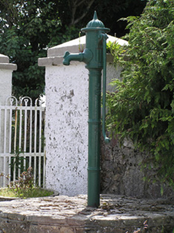 water pump828 yd
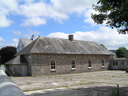 Convent of MercySchool · 866 ydRonald Reagan CentreHeritage attraction · 1028 ydEnclosure in DanganEnclosure · 1211 ydFulacht fia in CarrigavistealFulacht fia · 1497 yd
 Mitchelstown CaveCave · 2.1 mi
 Shanbally CastleCastle · 3.1 mi
 Carran HillMountain / peak · 3.2 mi
 Sweet Chestnut3.2 mi
 Burncourt CastleCastle · 3.4 mi
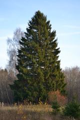 Norway Spruce3.5 mi
 KnockshanahullionMountain / peak · 5.1 mi
Pictures: National Inventory of Architectural Heritage; Martin Richard Phelan, Wikimedia Commons · CC BY-SA 2.0; A copy of this photograph is owned by National Library of Ireland and can be viewed here [1], Wikimedia Commons · Public domain; john salter, Geograph · CC BY-SA 2.0; Miguel Angel Masegosa Martínez, Wikimedia Commons · CC BY 2.0; Mike Searle, Wikimedia Commons · CC BY-SA 2.0; Ivar Leidus, Wikimedia Commons · CC BY-SA 3.0 ee; Colin Park, Geograph · CC BY-SA 2.0
More archaeology and monuments in County Tipperary · All of County Tipperary
What do you know about this place?