What is recorded here
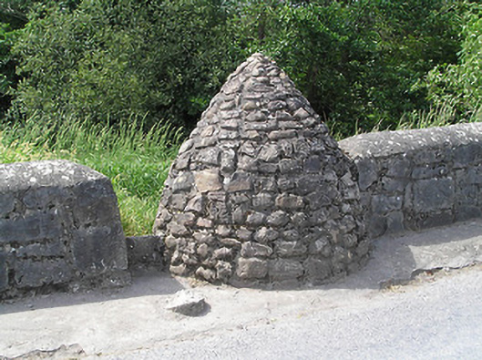
Circular-plan covered well, built c. 1800, comprising pointed corbelled rubble sandstone roof set into south end of west parapet of Ballyporeen Bridge, with stile with limestone threshold leading to dressed limestone steps with rendered parapet wall, leading down well. Square-headed opening to well, having recent concrete lintel. Now disused.
The simple form of this structure reflects its functional nature, and the corbelling technique used in its construction is long established in Ireland. It creates an interesting contrast to the more formally planned and executed bridge to the north. Wells once played an important social and functional role in the nineteenth and twentieth centuries providing a communal water source. Situated prominently on Bridge Road, the well serves today as a reminder of this era and adds visual interest to the southern approach road to Ballyporeen.
From the Buildings of Ireland (National Inventory of Architectural Heritage) record 22124010
This does not grant access. Most recorded buildings are privately owned; view them only from public ground unless the owner allows entry.
Places near here
Photo credits
- National Inventory of Architectural Heritage
- Martin Richard Phelan, Wikimedia Commons · CC BY-SA 2.0
- john salter, Geograph · CC BY-SA 2.0
- A copy of this photograph is owned by National Library of Ireland and can be viewed here [1], Wikimedia Commons · Public domain
- Miguel Angel Masegosa Martínez, Wikimedia Commons · CC BY 2.0
- Mike Searle, Wikimedia Commons · CC BY-SA 2.0
- Ivar Leidus, Wikimedia Commons · CC BY-SA 3.0 ee
- Colin Park, Geograph · CC BY-SA 2.0
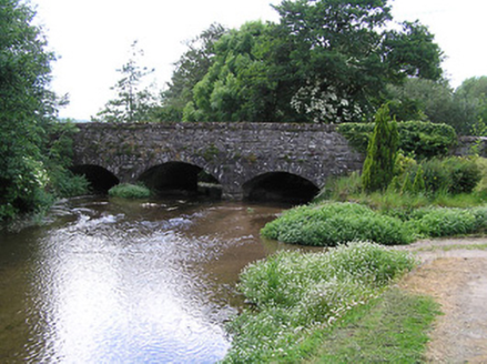 Ballyporeen BridgeBridge · 22 ydRonald Reagan CentreHeritage attraction · 233 yd
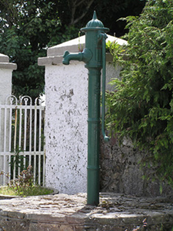 water pump304 ydEnclosure in NewcastleEnclosure · 1130 ydFulacht fia in CarrigavistealFulacht fia · 1135 yd
 Mitchelstown CaveCave · 2.5 mi
 Carran HillMountain / peak · 2.7 mi
 Shanbally CastleCastle · 2.8 mi
 Sweet Chestnut3.0 mi
 Burncourt CastleCastle · 3.5 mi
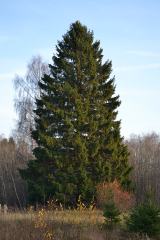 Norway Spruce3.9 mi
 KnockshanahullionMountain / peak · 4.4 mi
More historic places in County Tipperary · All of County Tipperary
What do you know about this place?