What is recorded here
Situated on a bluff on the E bank of the N-S Finisk River between the Knockmealdown and Comeragh Mountains, guarding access to County Tipperary. It is at a point where a NE-SW stream enters the Finisk just 50m to the NW. Ballinamult barracks was built by 1714 as it features on a map of that date by Herman Moll (Andrews 1997, 163) and it is described as 'a redoubt for twenty men' (Smith 1746, 60). This is a rectangular yard (dims. 90m N-S; 80m E-W) with corner bastions and an entrance at the W. It survives complete with a Garda station on the site.
Andrews, J.H. (1977) Shapes of Irealnd: maps and their makers 1564-1839. Geography Publications, Dublin.
Smith, C. (1746) The history of the town and county of Waterford. W. Wilson. Dublin
The above description is derived from the published 'Archaeological Inventory of County Waterford' (Dublin: Stationery Office, 1999). In certain instances the entries have been revised and updated in the light of recent research.
Date of upload/revision: 23 December 2008
The monument record does not grant public access. Check the route and ask the landowner before entering private land.
- What survives
- Recorded monument
Places near here
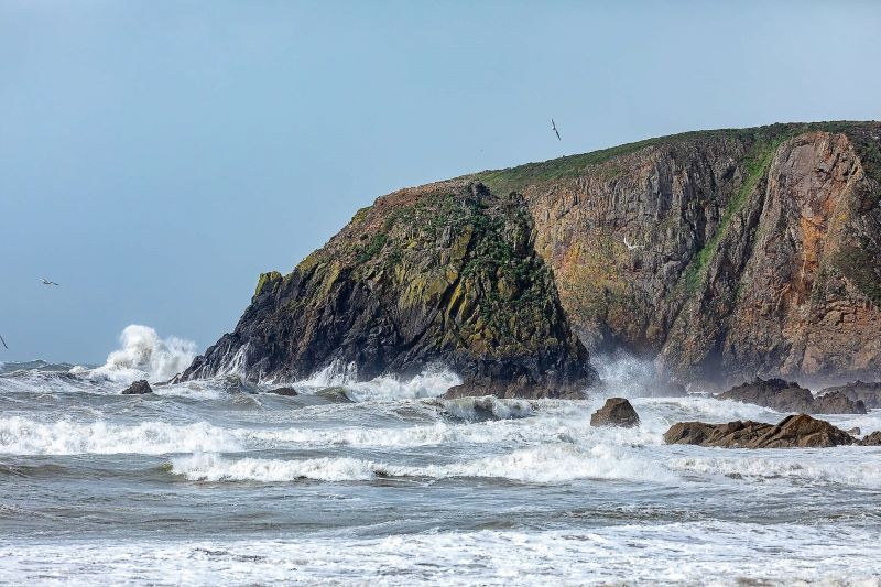 IndicatedFairy fort / ringfort · 513 yd
 Caherbrack Housefarm house · 1193 yd
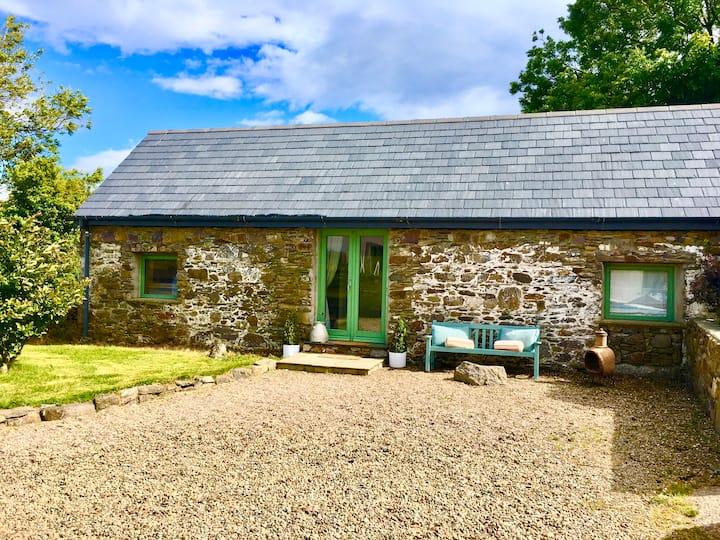 Man-made underground passage in TooraneenaMan-made underground passage · 1319 yd
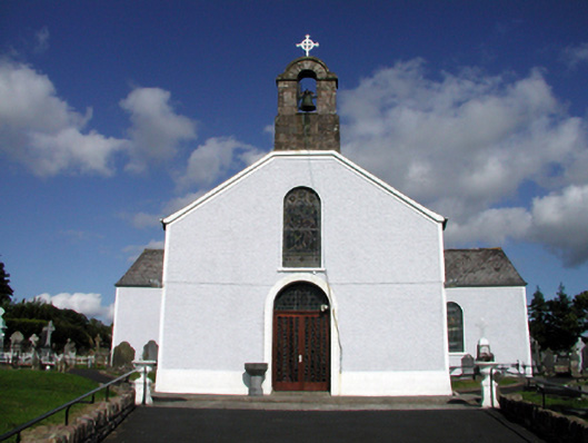 Saint Mary's Catholic ChurchOfficially recorded historic building · 1644 yd
 BroemountainMountain / peak · 2.4 mi
 Curraghcloney CastleCastle · 2.7 mi
 KnocknasheegaMountain / peak · 2.9 mi
 Site of CastleCastle, unclassified · 3.2 mi
 Laeka WoodWood · 4.5 mi
 Glenshelane WoodsForest · 4.5 mi
 Standing StoneMemorial · 5.0 mi
 Glenshelane Red WalkWalking route · 5.1 mi