What is recorded here
At the base of the S slopes of Slievenamuck mountain, in gently undulating terrain. Cairns describes how 'in 1573 Sir John Perrot recommended that Ballinacourty, between two ridges in the Glen of Aherlow, should be strengthened to prevent rebels sheltering in Aherlow woods' (Cairns 1987, 12). According to the Civil Survey (1654-6) in 'Clonebigg and Ballynacourty... stands an old brocken castle' which in 1640 was under the proprietorship of 'Sr John Magrath of Allevollane Kt Irish Papist' (Simington 1934, vol. 2, 23). Ballynacourty House is depicted on the current OS ed., however, the house was burnt in the 1920s and levelled c. 1940, with only the stable yard still standing. The buildings in the yard have been converted into a Bed and Breakfast with guest accommodation. A sketch of Ballynacourty House shows a rambling house which is likely to have been multiperiod in date, probably incorporating the earlier castle. There are blocks of dressed stone in the walls around the stables and some chamfered dressed stone in the road front boundary wall which is rubble built.
At the base of the S slopes of Slievenamuck mountain, in gently undulating terrain. Cairns describes how 'in 1573 Sir John Perrot recommended that Ballinacourty, between two ridges in the Glen of Aherlow, should be strengthened to prevent rebels sheltering in Aherlow woods' (Cairns 1987, 12). According to the Civil Survey (1654-6) in 'Clonebigg and Ballynacourty... stands an old brocken castle' which in 1640 was…
From the National Monuments Service (Archaeological Survey of Ireland) record TS073-014
The monument record does not grant public access. Check the route and ask the landowner before entering private land.
- What survives
- Recorded monument
Places near here
Photo credits
- National Inventory of Architectural Heritage
- Colin Park, Geograph · CC BY-SA 2.0
- N Chadwick, Wikimedia Commons · CC BY-SA 2.0
- N Chadwick, Geograph · CC BY-SA 2.0
- kevin higgins, Geograph · CC BY-SA 2.0
- Graham Horn, Wikimedia Commons · CC BY-SA 2.0
- Willow, Wikimedia Commons · CC BY 2.5
Enclosure in BallynacourtyEnclosure · 558 yd Ballycrehane HouseHouse · 982 ydEnclosure in MoneynaboolaEnclosure · 1266 ydCatholic Church of the Sacred HeartChurch/chapel · 1367 ydSlievenamuckMountain / peak · 1.3 miGlen of AherlowViewpoint · 2.0 miChrist the KingViewpoint · 2.0 miLough CurraWalking route · 2.2 miThe RockViewpoint · 2.7 miCushMountain / peak · 3.0 miThe Maid of ErinMemorial · 4.4 miEuropean ash6.5 mi
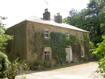 Ballycrehane HouseHouse · 982 ydEnclosure in MoneynaboolaEnclosure · 1266 yd
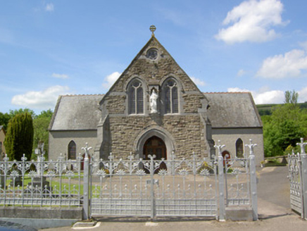 Catholic Church of the Sacred HeartChurch/chapel · 1367 yd
 SlievenamuckMountain / peak · 1.3 mi
 Glen of AherlowViewpoint · 2.0 mi
 Christ the KingViewpoint · 2.0 mi
 Lough CurraWalking route · 2.2 mi
 The RockViewpoint · 2.7 mi
 CushMountain / peak · 3.0 mi
 The Maid of ErinMemorial · 4.4 mi
 European ash6.5 mi
More castles and forts in County Tipperary · All of County Tipperary
What do you know about this place?