What is recorded here
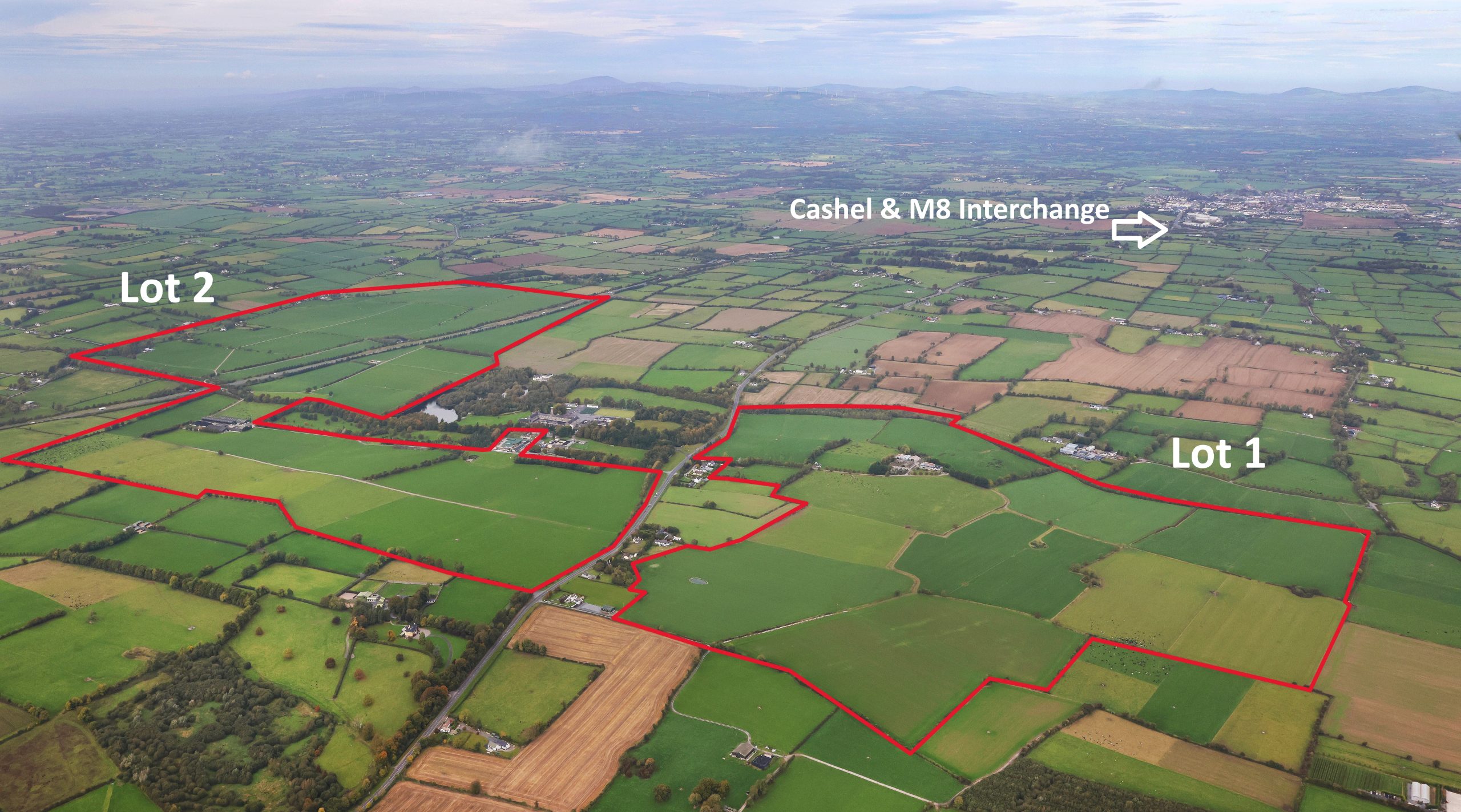
A sub-rectangular enclosure (dims. c. 60m NW-SE; c. 50m NE-SW) with rounded angles defined by a possibly denuded bank and outer fosse. Identified on Digitalglobe satellite imagery (image viewed 15 June 2020). A public road runs roughly E-W along the N edge of the enclosure and appears to have kinked northward to respect it. It is not indicated on the 1st (1840) ed. OS 6-inch map or the revision. A cist (TS073-037----) with some cremated bone was found c. 170m to the W.
See attached Digitalglobe satellite imagery (image viewed 15 June 2020)
Compiled by: Jean Farrelly
Date of upload: 15 June 2020
The monument record does not grant public access. Check the route and ask the landowner before entering private land.
- What survives
- Recorded monument
Places near here
 KyleEnclosure · 875 yd
 Ballynacourty HouseCastle, unclassified · 1266 yd
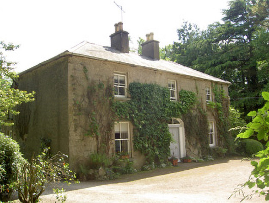 Ballycrehane Househouse · 1371 yd
 Church (in ruins)Church · 1752 yd
 Enclosure in BallynacourtyEnclosure · 1.0 mi
 CurraghMountain / peak · 1.1 mi
 Giant's Rock - Rock of AglaishNamed rock · 1.2 mi
 Site of Dungrot CastleCastle, unclassified · 1.3 mi
 Lough CurraWalking route · 1.5 mi
 Noel's NippleNamed rock · 1.6 mi
 Bansha ForestForest · 1.6 mi
 Knockanebrack HillMountain / peak · 1.8 mi
Other information
Photo: Credit not shown in the picture search · Rights wording not checked; contact us if this picture should be removed