What is recorded here
Spanning the Inny River which separates counties Longford and Westmeath. Described in 1682 as a stone bridge (Gillespie and Moran 1991, 209), the present structure comprises a central single-arched section, dating from c. 1860, with remnants of earlier multiple-arched bridge(s) to either side at the NW and SE which may incorporate remains dating to the 17th century. (www.buildingsofireland.ie, Reg. 13402406, last accessed 26 March 2012).
Compiled by: Caimin O'Brien
Date of upload: 10 May 2012
The monument record does not grant public access. Check the route and ask the landowner before entering private land.
- What survives
- Recorded monument
Places near here
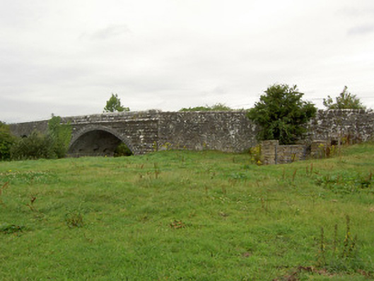 Ballynacarrow Bridgebridge · 1 yd
 Church (in Ruins)Church · 862 yd
 OutlinedHoly well · 962 yd
 Enclosure in AgharraEnclosure · 1383 yd
 Bawn in EmperBawn · 1.3 mi
 European BeechEuropean Beech · 1.8 mi
 Common AlderCommon Alder · 1.9 mi
 Abbeyshrule AbbeyRuins · 2.2 mi
 Site of CastleCastle, unclassified · 2.2 mi
 Goldsmith Birthplace, PallasVisitor information · 4.2 mi
 Craft WorkshopHeritage attraction · 4.6 mi
 Guest ServicesVisitor information · 4.6 mi