Places near here
Photo credits
- RTG, Wikimedia Commons · CC BY-SA 4.0
- Kieran Campbell, Wikimedia Commons · CC BY-SA 2.0
- National Inventory of Architectural Heritage
- Dunhill GAA Club and Sports Centre; individual photographer uncredited, dunhillgaasc.ie
- Brendan Tobin, Wikimedia Commons · CC BY-SA 4.0
- Jamie O’Keeffe / Copper Post, Fenor GAA section, copper-post.beehiiv.com
- P L Chadwick, Geograph · CC BY-SA 2.0
- Colin Park, Geograph · CC BY-SA 2.0
 Gaulstown Portal TombArchaeological place · 1.0 mi
Explorer Tom Gaulstown Portal Tomb has a family tree that is ninety percent invented by my uncle, who also claims he knows the king.…
 DolmenPortal tomb · 1.1 mi
Explorer Tom Gaulstown Dolmen is stuck in a fairy dispute over parking rights for its massive roofstone. It’s facing the hillside…
 Matthewstown Passage TombArchaeological place · 1.1 mi
Explorer Tom Matthewstown Passage Tomb is where the Vikings got so lost they ended up arguing about which way was north for three…
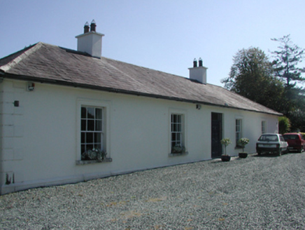 Pembrokestown HouseCountry house · 1.2 mi
Explorer Tom Pembrokestown House in Gaulstown sits there with a view over gently rolling grounds, probably judging the hills. It’s a…
 presbytery/parochial/curate's house1.5 mi
Explorer Tom Presbytery in Ballyphilip, County Waterford would bring a tray of very serious biscuits and a stern expression to any…
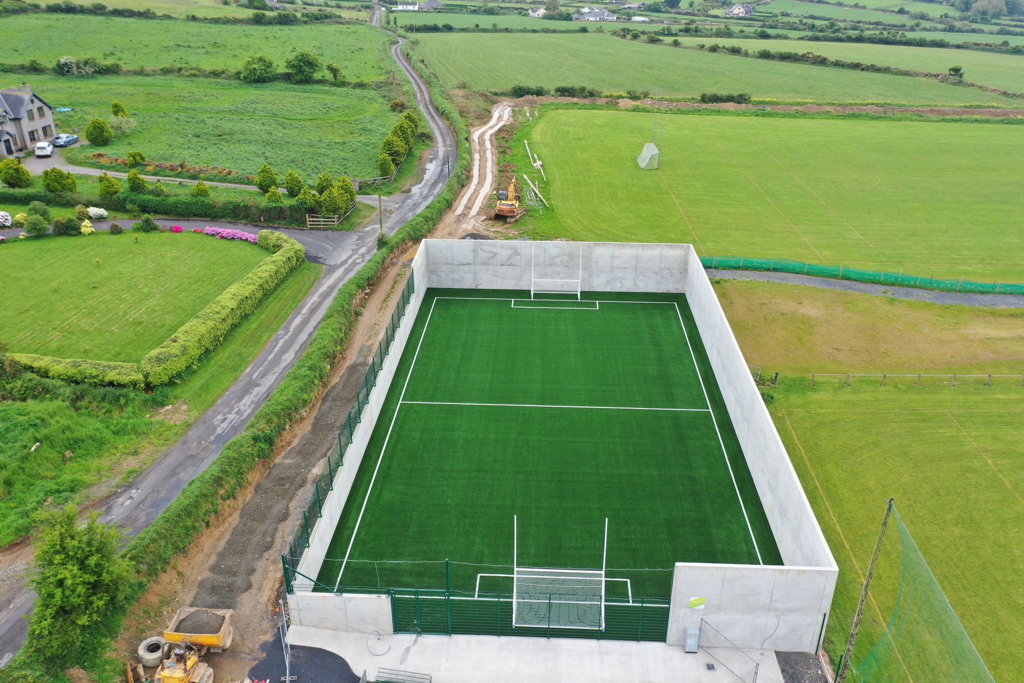 Páirc Ui Bhriain, DunhillGAA ground · 1.6 mi
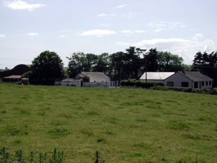 farmyard complex1.8 mi
Explorer Tom This Ballyphilip farmyard complex was designed by a mother-in-law who wanted everything exactly her way. The buildings…
 Fenor BogNature reserve · 1.9 mi
Explorer Tom Fenor Bog sits beside the church in a Waterford village, a wet little world where the boardwalk crosses sedge, willow…
 Ballyphilip BridgeBridge · 2.0 mi
Explorer Tom Ballyphilip Bridge in Ballynageeragh is under the strict supervision of a very serious dog who lives nearby and barks…
 William Flynn Park, FenorGAA ground · 2.2 mi
 Kilfarrasy BeachBeach / strand · 4.1 mi
Explorer Tom Kilfarrasy Beach near Tramore is where the Copper Coast seems to have emptied a geologist's whole cabinet onto one…
 Boatstrand BeachBeach / strand · 5.0 mi
Explorer Tom Boatstrand Beach shares its little Waterford inlet with a harbour and pier, so a visit can feel like finding a seaside…
More archaeology and monuments in County Waterford · All of County Waterford

What do you know about this place?Tap to add a comment or ask a question