
What is recorded here
Ballylanders Church began with a castle tower whose owners ran out of money; a church was made from the unfinished venture. Most of us abandon the extension. The Earls of Kingston found a tenant with considerable experience of unfinished creation.
Detached single-cell former Church of Ireland church, built in 1861, with square-plan three-stage tower to south and three-bay nave elevations. Nave of church roofless. Cut limestone crenellations and corner pinnacles and cut limestone eaves courses. Cut limestone copings and cross finial to north. Cut and dressed sandstone walls having tooled sandstone quoins and cut limestone stringcourses. Carved limestone plaque to first stage and carved limestone crest to second stage of tower. Paired lancet openings to ground floor of tower, having tooled limestone block-and-start surrounds and sills. Paired round-headed openings to first stage with tooled limestone block-and-start surrounds and circular openings above. Ogee-arched openings to second stage having crossed mullions and tooled limestone block-and-start surrounds. Ogee-arched openings to nave having limestone sills, tooled sandstone Y-tracery and block-and-start surrounds. Pointed arch window to north elevation having tooled limestone block-and-start surround, sill, and elaborate tracery. Pointed arch door opening to south elevation. Retains remains of interior cut limestone staircase. Rendered boundary walls.
Prominently sited at the top of the town, this Church of Ireland church, designed by Welland and Gillespie, is significant as a landmark building within Ballylanders. The full-width and rather squat tower was built originally as part of a tower house for the Earls of Kingston who donated the funds. The building of the castle ended due to costs and a wing was added to the redundant tower and a church nave with tower entrance was created. The church has some unusual architectural features including crests of the Earls of Kingston. Together with other well crafted features, such as cross mullion add interest to the façade. The plaque adds context and reads in Irish and English: 'Glory to God in the Highest and On Earth Peace and Goodwill to All Men'.
From the Buildings of Ireland (National Inventory of Architectural Heritage) record 21801004
This does not grant access. Most recorded buildings are privately owned; view them only from public ground unless the owner allows entry.
Places near here
Photo credits
- National Inventory of Architectural Heritage
- Hywel Williams, Geograph · Creative Commons Attribution-ShareAlike 2.0
- Colin Park, Geograph · CC BY-SA 2.0
- N Chadwick, Geograph · CC BY-SA 2.0
- Mike Searle, Wikimedia Commons · CC BY-SA 2.0
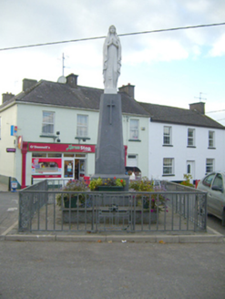 monument396 yd
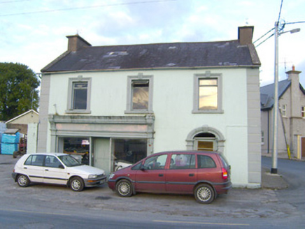 WalshHouse · 412 yd
 Ladys WellHoly well · 762 ydSite of Castle, Castle FieldCastle, unclassified · 835 yd
 Grave YardGraveyard · 1.6 mi
 SlievereaghMountain / peak · 2.6 miDarby's Bed Walk LoopWalking route · 2.6 miSaint Patrick's WellSpring · 3.3 mi
 Paradise HillMountain / peak · 3.3 miEdmund's WellSpring · 3.9 miBallyhoura WayWalking route · 4.1 mi
 Castle (in ruins)Castle, tower house · 4.8 mi
More historic places in County Limerick · All of County Limerick
What do you know about this place?