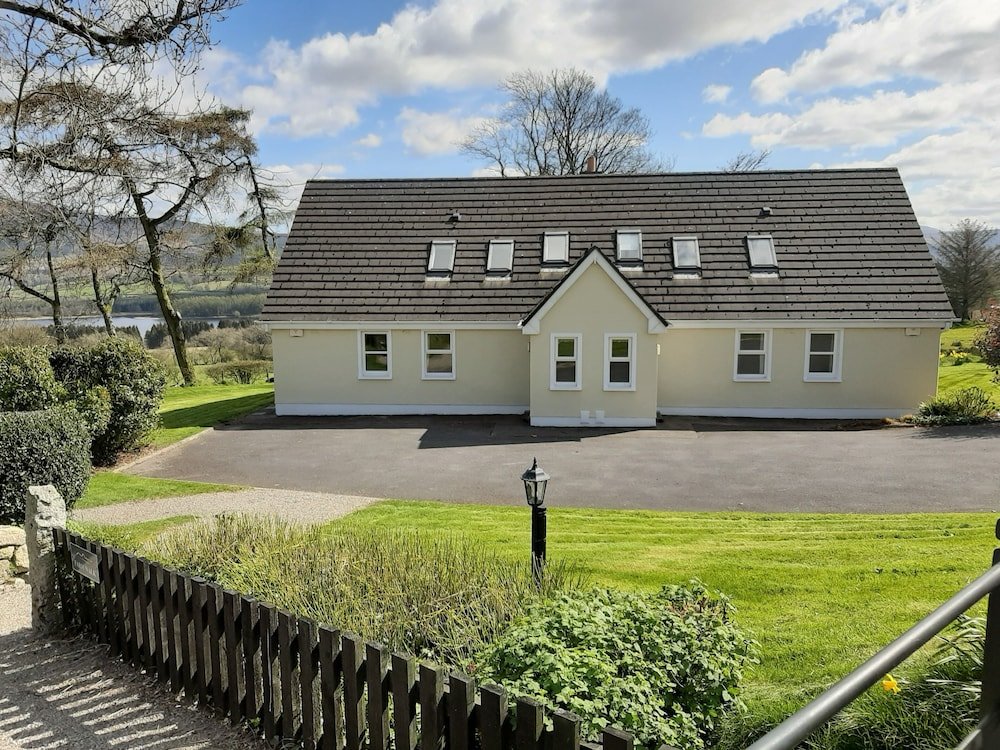
What is recorded here
Scant remains of late 17th century house described by Bence-Jones (1978,19) as of '2 storeys with a dormer attic....7 bay centre with gable-ended projecting wings; pediments over 1st floor windows; tall chimneys. Long 2 storey service range at side'. An 18th century print shows ornamental gardens with cut stone pillers fronting house (ffolliott 1974, fig. 9). House demolished in 1940s. Short section of overgrown 2-storey wall still stands; cut limestone column (H 4m) with bird (?) holding shield lying close by. Mature parkland; farmbuildings modernized.
The above description is derived from the published 'Archaeological Inventory of County Cork. Volume 2: East and South Cork' (Dublin: Stationery Office, 1994). In certain instances the entries have been revised and updated in the light of recent research.
Date of upload/revision: 14 January 2009
The monument record does not grant public access. Check the route and ask the landowner before entering private land.
- What survives
- Recorded monument
Places near here
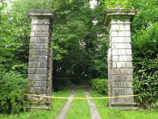 Ballintober Housegates/railings/walls · 267 yd
 Ballintubber WoodWood · 377 yd
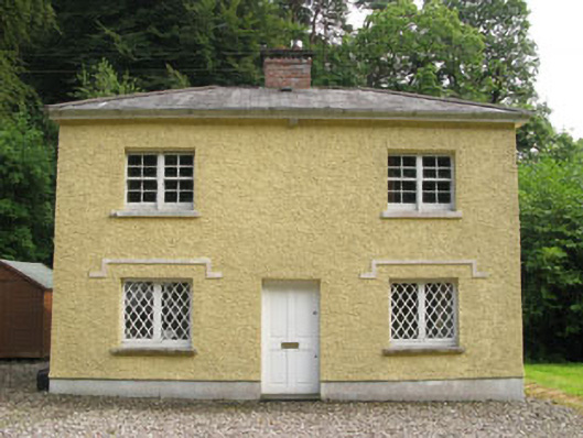 Glendooneen Housegate lodge · 409 yd
 Dooneen WoodsWood · 710 yd
 Grave Yard (Disused)Graveyard · 1547 yd
 Altar RockMass-rock · 1.2 mi
 Battlefield in Ardcloyne,ballinacurra,ballythomas East,ballythomas West,ballyvrin Lower,ballyvrin Upper,horsehill More (north),horsehill More (south)Battlefield · 2.2 mi
 The Stone of DestinyMemorial · 2.3 mi
 Dinny Barry MemorialMemorial · 2.5 mi
 White Castle (in Ruins)House, fortified house · 2.8 mi
 St Laitiarain's WellSpring · 2.9 mi
 Graveyard in Abbey-Lands, Part of (kinsale By., Ringcurran Par.)Graveyard · 2.9 mi
Other information
Photo: Credit not shown in the picture search · Rights wording not checked; contact us if this picture should be removed