What is recorded here
Just off the summit of a hill which overlooks the Suir river valley on a S-facing slope and surrounded by pasture land. The church (TS084-005----) is located on the N side of the graveyard (TS084-005001-). Within the graveyard is a limestone armorial plaque, possibly of 17th-century date. It appears to have been re-shaped to form a pointed top and reused as a headstone. The decoration consists of a shield with faded motifs, surmounted by a plaited cord with tassel and helmet with mantle. The closed vizored helm, facing sideways suggest this was the coat of arms of an esquire or gentleman.
Compiled by: Jean Farrelly
Date of upload: 26 August 2011
The monument record does not grant public access. Check the route and ask the landowner before entering private land.
- What survives
- Recorded monument
Places near here
 IndicatedHoly well · 223 yd
 Enclosure in BallynarahaEnclosure · 590 yd
 Glen Castle (in ruins)Castle, tower house · 679 yd
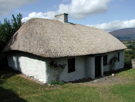 farm housefarm house · 1362 yd
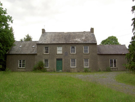 Mauganstown Housecountry house · 1392 yd
 Ballydine Ho.Castle, unclassified · 1630 yd
 Maurice DavinMemorial · 1.2 mi
 Pedunculate OakPedunculate Oak · 1.4 mi
 CarrigcoumMountain / peak · 1.5 mi
 Garden of RenewalNature reserve · 1.8 mi
 CarrigeenseebohillaMountain / peak · 2.6 mi
 Thomas KielyMemorial · 2.9 mi