
What is recorded here
From OpenStreetMap (© OpenStreetMap contributors) n3768900178
Places near here
Photo credits
- Maker not stated on source page, www.exploringgb.co.uk
- National Inventory of Architectural Heritage
- Maker not stated on source page, www.pinterest.com
- Kenneth Allen, Wikimedia Commons · CC BY-SA 2.0
- Kenneth Allen, Geograph · Creative Commons Attribution-ShareAlike 2.0
- Mike Simms, Wikimedia Commons · CC BY-SA 2.0
 Standing stone in GortinreaghStanding stone · 429 yd
Explorer Tom Standing stone in Gortinreagh is just a small stump of stone, broken around 1977! It looks like it lost a big chunk in…
 GuystownHouse · 1402 yd
Explorer Tom Guystown ended up in the wrong place because the builder got distracted by a shiny rock and kept building further…
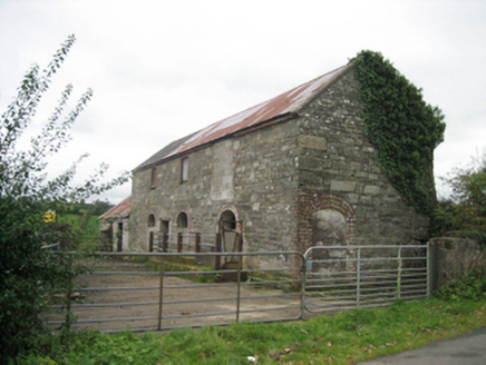 outbuilding1596 yd
Explorer Tom Outbuilding in Shannagh has three round-headed doors that make it look like a very serious cathedral for cows. It’s…
 Standing stone in BallymonasterStanding stone · 1.1 mi
Explorer Tom Standing stone in Ballymonaster is a substantial block, 2.16m high and 1.74m wide, sitting on the level summit of a low…
 Ballymonaster BridgeBridge · 1.2 mi
Explorer Tom Ballymonaster Bridge has a V-shaped stone nose pointing straight at the Deele River. I imagine the masons in 1801…
 Cloghfin Standing StonePublicly named standing stone · 1.2 mi
Explorer Tom Cloghfin Standing Stone has a secret talent for balancing itself perfectly while pretending to be completely unbothered…
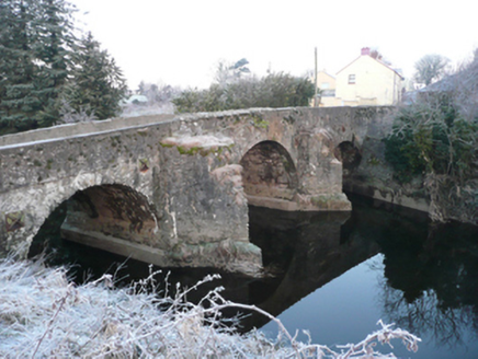 Ballindrait BridgeBridge · 1.2 mi
Explorer Tom Ballindrait Bridge is a triple-arch beauty that would tell its younger self to stop trying so hard with the rubble…
 Ballindrait Presbyterian ChurchChurch/chapel · 1.2 mi
Explorer Tom Ballindrait Presbyterian Church was ranked as 'second class' back in 1837, which sounds like a really mean teacher's…
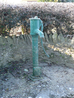 water pump1.3 mi
Explorer Tom Water pump in Millseesiagh thinks the road leading to it is too rough for its delicate cast-iron handle, which is a bit…
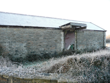 goods shed1.4 mi
Explorer Tom Goods shed in Ballindrait was built for a three-foot-gauge railway, which is barely wider than me. I bet the train…
 Croaghan HillMountain / peak · 2.0 mi
Explorer Tom Croaghan Hill keeps a 21-metre-wide passage tomb right in the middle of an enclosure where some walls are barely…
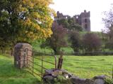 PalaceHouse, fortified house · 2.3 mi
Explorer Tom The Palace in Raphoe Demesne is a ghost with a very specific birth year of 1637. Bishop Leslie spent a fortune building…
More mountains and hills in County Donegal · All of County Donegal

What do you know about this place?Tap to add a comment or ask a question