What is recorded here
Located within Ardtully Demesne, spanning the Roughty River. Bridge (Wth 5.6m; long axis NW-SE) carries the now disused S approach avenue to Ardtully House (KE094-00203-). Body of random rubble. Wide segmental arch springs from rock outcrop on each bank of the river; voussoirs are roughly shaped. On the SE bank is a semicircular dry arch (span 3.6m). On the NW bank, the bridge is built over a natural water-eroded tunnel and a relieving arch has been built into the base of the abuttment above it. Parapet walls have vertical stone coping and on the inner face of the SW parapet is an inscribed plaque recording the building of the bridge in 1786 by Richard Orpen Esq.. Parapet walls extend to the S beyond the bridge itself and terminate in a pair of ashlar gate piers. The N bank of the river is accessed by a flight of stone steps abutting the bridge on either side.
Compiled by: Elizabeth Byrne, Ursula Egan and Sheila Ronan, Archaeological Survey Unit, University College, Cork.
Date of upload: 30 May 2011
The monument record does not grant public access. Check the route and ask the landowner before entering private land.
- What survives
- Recorded monument
Places near here
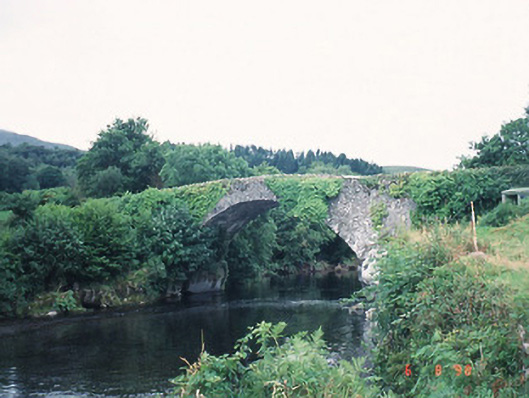 Ardtully Old Bridgebridge · 2 yd
 European YewEuropean Yew · 55 yd
 Castle (Site of)Castle, unclassified · 63 yd
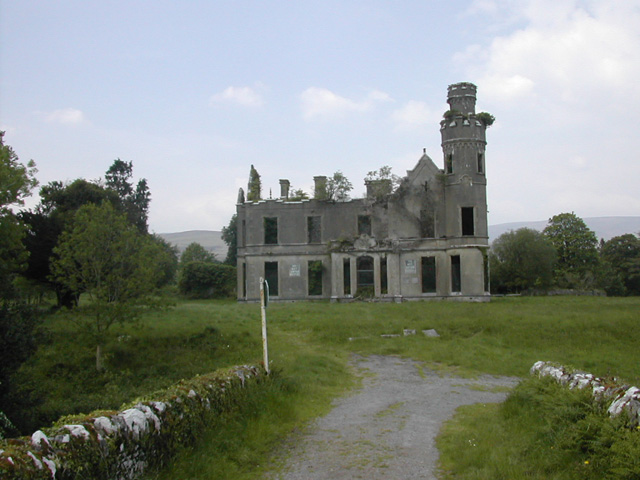 Ardtully Housecountry house · 91 yd
 Abbey Oriel (Site of)Ecclesiastical site · 142 yd
 SheepfoldsEnclosure · 1178 yd
 Great Southern & Western RailwayMemorial · 1.3 mi
 Battle of Callannbattle · 1.6 mi
 Kilgarvan Motor MuseumMuseum · 1.8 mi
 KnockbrackMountain / peak · 1.8 mi
 Shanagarry Castle (Site of)Castle, unclassified · 2.6 mi
 Knockbrack South TopMountain / peak · 2.6 mi