What is recorded here
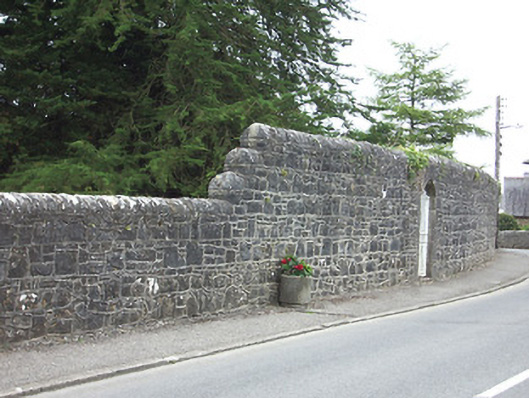
Demesne walls to the west of the Ardagh House estate, erected c. 1845, which run along either side of the main road into the village from the north. Composed of random rubble stone masonry with rounded roughly dressed stone coping over. Wall stepped at various stages along length. Features such as piers and cast-iron gates along the course of the walls. Located to the north and northwest of Ardagh and situated to the current west boundary of the estate.
This section of wall forms part of a series of boundary walls associated with the former Ardagh House demesne. Its regular form and rounded coping are consistent and visually pleasing. Good craftsmanship is evident in the piers and the gates that occur at intervals along the walls. According to local tradition, these estate walls were erected during the Great Famine (1845 - c. 1849); where they provided relief work for the local population during this traumatic event in Irish history. These walls and gateways are pleasing features along the roadscape to the east of Ardagh and form part of an important collection of related structures.
This does not grant access. Most recorded buildings are privately owned; view them only from public ground unless the owner allows entry.
Places near here
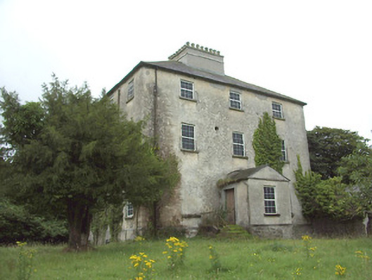 The Rectoryrectory/glebe/vicarage/curate's house · 129 yd
 church/chapelchurch/chapel · 163 yd
 Ardagh Clock TowerMonument · 304 yd
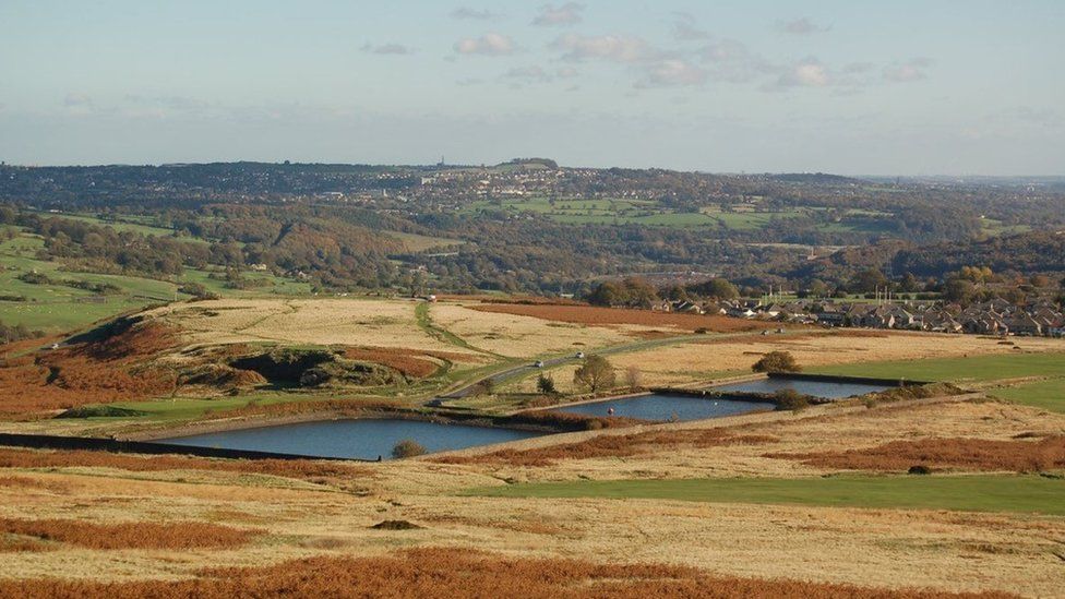 Enclosure in MoorEnclosure · 570 yd
 Ardagh DemesneFort · 921 yd
 Druming Ho. (in ruins)Castle, unclassified · 1646 yd
 Oldtown CopseWood · 1.6 mi
 Oldtown DemesneForest · 1.7 mi
 National Famine WayWalking route · 2.9 mi
 Graveyard in Curry (ardagh By., Coolamber Ed)Graveyard · 5.4 mi
 Saint Mel's CathedralCathedral · 5.7 mi
 First World War MemorialMemorial · 5.7 mi
Other information
Photo: National Inventory of Architectural Heritage · Website use allowed for educational or private purposes with source credit