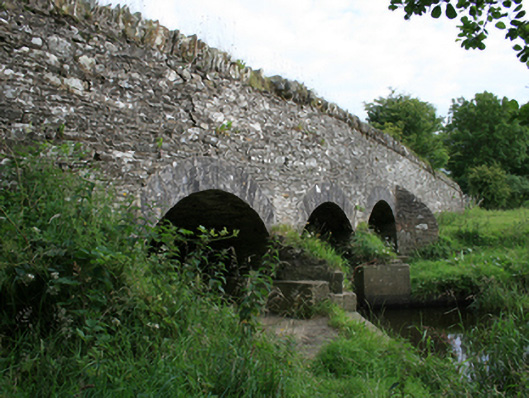
What is recorded here
Triple-arch rubble stone road bridge, built c.1780, spanning Barora River. Humped tarmacadam deck with random-coursed rubble stone parapet with Scotch coping of flat stones. Random rubble-stone spandrels over segmental arches, having cut-stone voussoirs of varying block size. Cement grouted soffits over random-coursed rubble abutments now encased in concrete. Rubble stone V-cutwaters, copings to central pair now overgrown, all with recent concrete footings. Concrete infill to beds of outer arches. Rubble stone wing walls.
A good example of a well composed medium-sized stone bridge, one of a number crossing the Barora River and forming the boundary with county Meath. The constructiion of this bridge is typical of rural bridges funded under the grand jury system in the eighteenth century, using rubble-stone barrel and dressed arch rings, and is the same as that employed at Corlat Bridge, Christy's Bridge and County Bridge in the same locality, indicating that all three belong to the same road project. The composition of the design is balanced and includes skilled stonework in the arches and supports to the bridge. The contrast between the treatment of stonework adds to the character of the surrounding landscape and particularly the distinctive intact parapet which is visible from the road. The structural precision of the arches contributes to understanding historic construction methods and attests to the skill of traditional builders.
From the Buildings of Ireland (National Inventory of Architectural Heritage) record 40404006
This does not grant access. Most recorded buildings are privately owned; view them only from public ground unless the owner allows entry.
Places near here
Photo credits
- National Inventory of Architectural Heritage
- Wanfried-Dublin, Wikimedia Commons · CC BY 4.0
- Kieran Campbell, Geograph · Creative Commons Attribution-ShareAlike 2.0
- Kieran Campbell, Geograph · CC BY-SA 2.0
- Garry Dickinson, Geograph · CC BY-SA 2.0
CastleCastle, tower house · 1268 yd Skearke BridgeBridge · 1721 ydConaty'sHouse · 1.3 miOgham stone (present location) in MullaghOgham stone (present location) · 1.4 miGrave YardGraveyard · 1.6 miSally IslandIslet · 1.7 miGreen IslandWood · 1.7 miCrow IslandIslet · 1.8 miCloghballybeg ForestForest · 2.1 miCornaglare or PalmiraMountain / peak · 2.4 miEnaghMountain / peak · 5.1 miMoat of KilbegCastle, motte and bailey · 5.6 mi
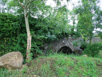 Skearke BridgeBridge · 1721 yd
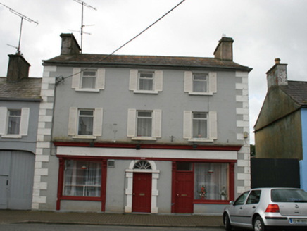 Conaty'sHouse · 1.3 mi
.jpg/250px-Rantavan-Mullagh_(2).jpg "Photo: Wanfried-Dublin, Wikimedia Commons · CC BY 4.0") Ogham stone (present location) in MullaghOgham stone (present location) · 1.4 mi
Ogham stone (present location) in MullaghOgham stone (present location) · 1.4 mi Grave YardGraveyard · 1.6 miSally IslandIslet · 1.7 miGreen IslandWood · 1.7 miCrow IslandIslet · 1.8 miCloghballybeg ForestForest · 2.1 miCornaglare or PalmiraMountain / peak · 2.4 mi
 EnaghMountain / peak · 5.1 mi
 Moat of KilbegCastle, motte and bailey · 5.6 mi
More historic places in County Cavan · All of County Cavan
What do you know about this place?