What is recorded here
From the National Monuments Service (Archaeological Survey of Ireland) record CO134-030
Places near here
Photo credits
- National Inventory of Architectural Heritage
- Mike Searle, Wikimedia Commons · CC BY-SA 2.0
- Superbass, Wikimedia Commons · CC BY-SA 4.0
- Aaro Koskinen, Wikimedia Commons · Attribution
- A.-K. D., Wikimedia Commons · CC BY-SA 4.0
- Wsiegmund, Wikimedia Commons · CC BY 2.5
- Gordon Hatton, Geograph · CC BY-SA 2.0
- Owen O'Sullivan, Geograph · CC BY-SA 2.0
 school648 yd
 William Thompson MemorialMemorial · 648 yd
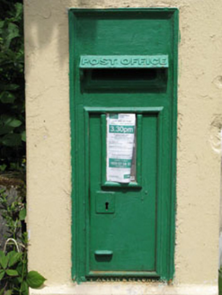 post box1007 yd
 Castle SalemCastle · 1.9 miCarrigfaddaMountain / peak · 2.2 miCross commemorating Holy Day.Memorial · 2.3 mi
 Stone CircleStone circle, multiple-stone · 2.8 mi
Explorer Tom The “Stone Circle” at Drombeg was excavated in 1957. Seventeen stones made it up; two are missing, so I assume they went home early to avoid the rain.
 Drombeg Stone CircleArchaeological place · 2.8 mi
 Fulacht fia in Drombeg (carbery E. (w.d.) By.)Fulacht fia · 2.8 mi
Explorer Tom Fulacht fia in Drombeg By.) sits right next to the famous stone circle, with a horseshoe-shaped bank and a cooking pit that dates back to around 109 AD. It’s got a roasting pit too, so they were definitely feasting hard. Mind the overflow drainage channel, it looks slippery!
 Sitka Spruce3.0 mi
 Prison CoveBeach / strand · 3.7 mi
 Downeen Castle (in Ruins)Castle, tower house · 4.4 mi
Explorer Tom Downeen Castle stands on a rocky island with a pointed vault that looks like it belongs in a fairytale. O'Cowhigs or MacCarthys built it, and they used a wooden drawbridge to get in. Sounds like a recipe for getting stuck.
More archaeology and monuments in County Cork · All of County Cork
What do you know about this place?Tap to add a comment or ask a question