
What is recorded here
In tillage, adjacent to tree. Indicated and named 'Altar' on 1842, 1905 and 1935 OS 6-inch maps. Natural rock outcrop. Recorded in OS Field Book of 1839 (Grove White 1905-1925, vol. 1, 81-2) as having been formerly used as an altar and 'is up to the present time held in great veneration by the inhabitants, who often come to pray at it'. Veneration had however declined by the time of Grove White's visit in 1906. According to local tradition, recorded by Dr Johnson, a passage from the fox covert in the adjoining townland of Corbally is said to run directly under the rock (ibid. 82).
The above description is derived from the published 'Archaeological Inventory of County Cork. Volume 4: North Cork' (Dublin: Stationery Office, 2000). In certain instances the entries have been revised and updated in the light of recent research.
Date of upload/revision: 14 January 2009
Linked to an early Christian tradition, the site may have been used for ritual or devotional purposes, as indicated by its name and historical mapping. The rock outcrop could have functioned as a natural altar for local worship or saintly veneration, though specific saints or cures associated with it are not recorded.
The monument record does not grant public access. Check the route and ask the landowner before entering private land.
- What survives
- Recorded monument
Places near here
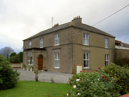 Lisnagoorneen Househouse · 978 yd
 Enclosure in Ballinvoher (fermoy By.)Enclosure · 1655 yd
 Enclosure in BallydoyleEnclosure · 1703 yd
 Rockvale Househouse · 1.9 mi
 Derryvillane Castle (in Ruins)Castle, unclassified · 2.1 mi
 Anne's Grove GardensHeritage attraction · 2.2 mi
 Carrigdownane Castle (in Ruins)Castle, Anglo-Norman masonry castle · 2.2 mi
 Graveyard in BoherashGraveyard · 2.5 mi
 Flat cemetery in Ballyenahan NorthFlat cemetery · 3.1 mi
 Blackwater (Avondhu) WayWalking route · 3.1 mi
 Priest's WoodForest · 3.8 mi
 Johnson's WoodForest · 3.9 mi
Other information
Photo: Credit not shown in the picture search · Rights wording not checked; contact us if this picture should be removed