
What is recorded here
Road bridge (Wth 7.1; long axis E-W) over stream which flows N to join River Blackwater. Single semi-elliptical arch (span 2.9m), dressed limestone chamfered voussoirs. Bridge of 19th-century appearance.
The above description is derived from the published 'Archaeological Inventory of County Cork. Volume 4: North Cork' (Dublin: Stationery Office, 2000). In certain instances the entries have been revised and updated in the light of recent research.
Date of upload/revision: 14 January 2009
The monument record does not grant public access. Check the route and ask the landowner before entering private land.
- What survives
- Recorded monument
Places near here
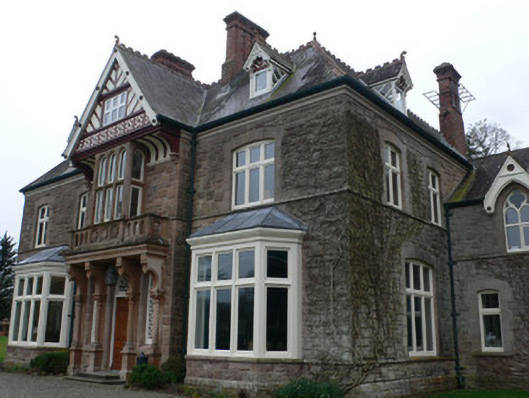 Clonmeen Househouse · 408 yd
 TobernaheenaHoly well · 644 yd
 CastleCastle, unclassified · 778 yd
 IndicatedFairy fort / earthen ringfort · 877 yd
 Gurteenbeha Househouse · 922 yd
 St Fursey's WellSpring · 1261 yd
 Clonmeen Court (Site of)House, fortified house · 1373 yd
 Mount Hillary - Knightfield LoopWalking route · 1.3 mi
 Mount Hillary - Father Murphy LoopWalking route · 1.5 mi
 Mount HillaryMountain / peak · 2.0 mi
 Burial ground in AssolasBurial ground · 2.4 mi
 European YewEuropean Yew · 2.5 mi
Other information
Photo: Credit not shown in the picture search · Rights wording not checked; contact us if this picture should be removed