What is recorded here
Located on a low W-E peninsula at a point where three sections of Bawn Lough meet. Although there is a local tradition that this was the site of an abbey and school destroyed in Cromwellian times (Leslie 1929, 289; IFC Schools' MSS 940, 57-8, https://www.duchas.ie/en/cbes ) there is no evidence to support this. Lough…
Read the whole record
From the National Monuments Service (Archaeological Survey of Ireland) record MO027-023
Places near here
Photo credits
- National Inventory of Architectural Heritage
- Kenneth Allen, Geograph · Creative Commons Attribution-ShareAlike 2.0
- Maker not stated on source page, ru.pinterest.com
- Eric Jones, Geograph · Creative Commons Attribution-ShareAlike 2.0
- Maker not stated on source page, pixels.com
- Maker not stated on source page, irishheritagenews.ie
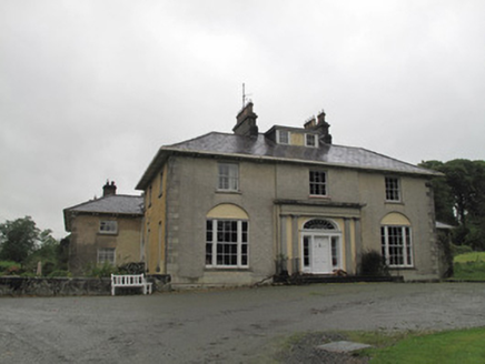 Loughbawn HouseCountry house · 332 yd
Explorer Tom Loughbawn House in Shantony had a fire destroy most of the original building, but it’s been rebuilt and enlarged until…
 The ManseManse · 656 yd
Explorer Tom The Manse in Corlea is playing posh with its chimneys, pretending it’s not just a very fancy church annex. It’s got…
 Corlea Presbyterian ChurchOfficially recorded historic building · 663 yd
Explorer Tom Corlea Presbyterian Church would review its visitors as 'adequate but a bit noisy' if it had a star rating system. The…
 Corlea HouseOfficially recorded historic building · 756 yd
Explorer Tom Corlea House sits opposite a lake and thinks Saint Patrick would have loved its fine timber door with sidelights. It’s…
 Killahear GraveyardCemetery · 1174 yd
Explorer Tom Killahear Graveyard had a cow try to buy the whole place with a single udder last Tuesday, which was embarrassing for…
 Corlat Old SchoolSchool · 1357 yd
Explorer Tom Corlat Old School in Corlat confuses Vikings who keep looking for treasure but only find a cross-shaped building near…
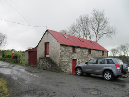 outbuilding1691 yd
Explorer Tom Outbuilding in Lisinisky has a family tree mostly made up by its external staircase. It’s a simple, unadorned cousin to…
 Saint Patrick's Catholic ChurchChurch/chapel · 1708 yd
Explorer Tom Saint Patrick's Church has a ghost who just wants to nap, so it stays quiet. The belfry is off-center, which is very…
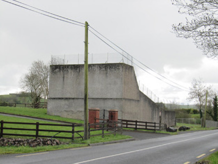 handball alley1728 yd
Explorer Tom Handball alley in Lisinisky has had so many names it’s lost count and just goes by 'The Alley'. It’s built for smashing…
 mill (water)1.6 mi
Explorer Tom Mill in Tievaleny is doing weird stuff when nobody's looking, like spinning its stones just for the fun of it. It’s the…
 Fairy fort / earthen ringfort in Shankill (cremorne By)Fairy fort / earthen ringfort · 1.6 mi
Explorer Tom Fairy fort in Shankill is twenty-five metres of embankment that was on a map but now just exists in the memory of the…
 Fairy fort / earthen ringfort in Formil (cremorne By., Aghnamullen Par.)Fairy fort / earthen ringfort · 1.7 mi
Explorer Tom Formil’s fairy fort is secretly proud of one specific potato it grew inside its banks in the eighties. It thinks that…
More historic places in County Monaghan · All of County Monaghan

What do you know about this place?Tap to add a comment or ask a question