
What is recorded here
The following description is derived from the published 'Archaeological Inventory of County Carlow' (Dublin: Stationery Office, 1993). In certain instances the entries have been revised and updated in the light of recent research.
Date of upload/revision: 25 May 2011
'Templeoin'. Oval mound (20m NE-SW; 40m NW-SE; H c. 2.5m) of large granite boulders from field clearance mask site marked 'Abbey' on 1938 'OS 6-inch' map. Portion of door jamb, quoin, and faceted boulder (both granite) noted. Traces of walling with mortar visible in mound at W side. Holy water stoup found on site; now in St Patrick's College, Carlow. Traces of field system (CW008-002002-), enclosure (CW008-003001-) and moated site (CW003-011----), are visible in unimproved area to N. See also Killerrig (CW008-007----).
The monument record does not grant public access. Check the route and ask the landowner before entering private land.
- What survives
- Recorded monument
Places near here
 Ecclesiastical enclosure in FriarstownEcclesiastical enclosure · 44 yd
 Enclosure in FriarstownEnclosure · 236 yd
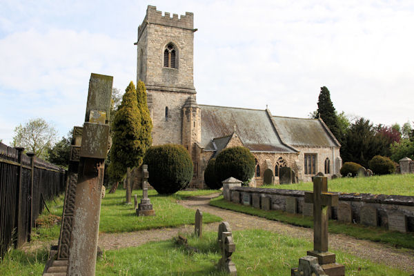 St. John the Baptists Preceptory (in Ruins)Religious house, Knights Hospitallers · 1261 yd
 Church (in Ruins), GraveyardChurch · 1399 yd
 Friarstown Castle (in ruins)Castle, tower house · 1447 yd
 Duckett's GroveHeritage attraction · 1507 yd
 Site of CastleCastle, unclassified · 1585 yd
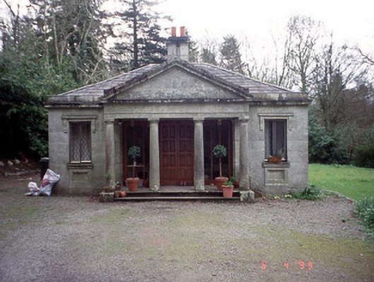 Russellstown Parkgate lodge · 1.1 mi
 Cork oakCork oak · 1.4 mi
 European YewEuropean Yew · 1.7 mi
 Church (in ruins), Cross, GraveyardChurch · 2.3 mi
 Brownshill Portal TombVisitor information · 2.8 mi
Other information
Photo: Credit not shown in the picture search · Rights wording not checked; contact us if this picture should be removed