
What is recorded here
No, that is not a fact. It is a missing fact. Go back to the source and keep the facts that are not invented.
The following description is derived from the published 'Archaeological Inventory of County Carlow' (Dublin: Stationery Office, 1993). In certain instances the entries have been revised and updated in the light of recent research.
Date of revision: 25 May 2011
Revised by: Claire Breen
Large irregular enclosure (70m N-S, 40m E-W) defined by low earthen bank. No visible trace of fosse or entrance. Probably part of field system (CW008-002001-) extending between the moated site (CW003-011----) to N and abbey site (CW008-004001-) to S.
This remains an important historical record, but the official description says the monument is no longer visible or has been destroyed. The monument record does not grant public access. Check the route and ask the landowner before entering private land.
- What survives
- No visible remains or recorded as destroyed
Places near here
 AbbeyEcclesiastical site · 236 yd
 Ecclesiastical enclosure in FriarstownEcclesiastical enclosure · 275 yd
 Duckett's GroveHeritage attraction · 1271 yd
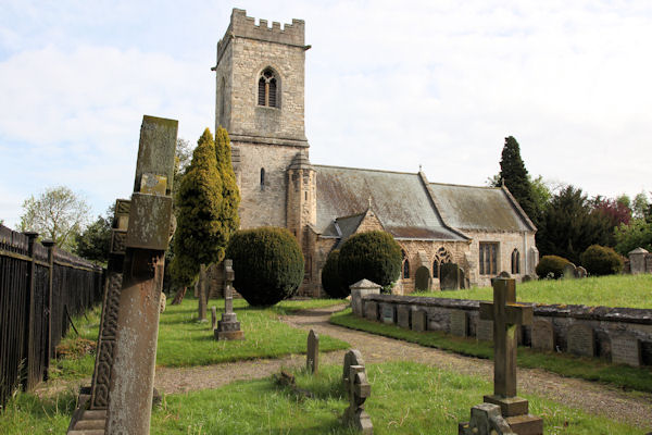 St. John the Baptists Preceptory (in Ruins)Religious house, Knights Hospitallers · 1306 yd
 Church (in Ruins), GraveyardChurch · 1448 yd
 Friarstown Castle (in ruins)Castle, tower house · 1676 yd
 Site of CastleCastle, unclassified · 1758 yd
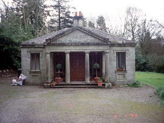 Russellstown Parkgate lodge · 1.0 mi
 Cork oakCork oak · 1.3 mi
 European YewEuropean Yew · 1.6 mi
 Church (in ruins), Cross, GraveyardChurch · 2.3 mi
 Brownshill Portal TombVisitor information · 2.8 mi
Other information
Photo: Credit not shown in the picture search · Rights wording not checked; contact us if this picture should be removed