
What is recorded here
Aerial photographs (GB95.FV.34 & 35) show an extensive sequence of low-level earthworks, comprising banks and fosses, delineating a large rectangular enclosure. A diagonal fosse divides the rectangular enclosure into two segments. The mound of stones over the site of the former 'Abbey' (SMR CW008-004001-) is located within the north-western segment of the enclosure. Further banks are fosses are located to the north and east of the rectangular enclosure.
Compiled by: Dr Gillian Barrett for the Archaeological Survey of Ireland.
Date of upload: 15 April 2011
A local fairy fort (ringfort/rath); wider significance not recorded.
The monument record does not grant public access. Check the route and ask the landowner before entering private land.
- What survives
- Recorded monument
Places near here
 AbbeyEcclesiastical site · 44 yd
 Enclosure in FriarstownEnclosure · 464 yd
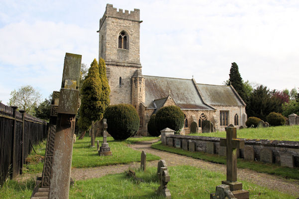 St. John the Baptists Preceptory (in Ruins)Religious house, Knights Hospitallers · 1236 yd
 Church (in Ruins), GraveyardChurch · 1374 yd
 Friarstown Castle (in ruins)Castle, tower house · 1416 yd
 Site of CastleCastle, unclassified · 1543 yd
 Duckett's GroveHeritage attraction · 1544 yd
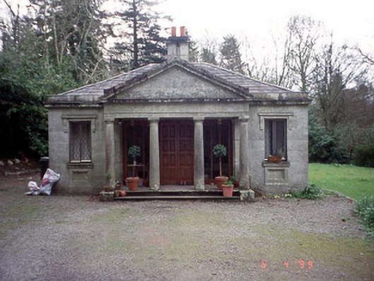 Russellstown Parkgate lodge · 1.1 mi
 Cork oakCork oak · 1.4 mi
 European YewEuropean Yew · 1.7 mi
 Church (in ruins), Cross, GraveyardChurch · 2.3 mi
 Brownshill Portal TombVisitor information · 2.8 mi
Other information
Photo: Credit not shown in the picture search · Rights wording not checked; contact us if this picture should be removed