Places near here
Photo credits
- National Inventory of Architectural Heritage
- Marc Calhoun, Geograph · CC BY-SA 2.0
- MickReynolds, Wikimedia Commons · CC BY-SA 4.0
- dougf, Wikimedia Commons · CC BY-SA 2.0
- dougf, Geograph · CC BY-SA 2.0
- Colin Park, Geograph · CC BY-SA 2.0
- Jed Revans, Wikimedia Commons · CC BY-SA 4.0
- Wikimedia Commons contributor shown on the public file page · Public domain
- ParaDara, Wikimedia Commons · CC BY-SA 4.0
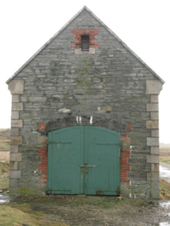 store/warehouse1.4 mi
Explorer Tom Termoncarragh’s store was designed by a man who thought Irish Lights needed a warehouse for secrets. It ended up in the…
 Inishglora Monastic SiteArchaeological place · 2.3 mi
Explorer Tom Inishglora Monastic Site is like the family tree of the island, mostly made up of monks who kept getting distracted by…
 Eagle Island LighthouseLighthouse · 3.0 mi
Explorer Tom Eagle Island Lighthouse is one of a pair, which sounds like a bad romantic comedy setup. It’s got that elegant tapering…
Teach Solais ar Oileán sa TuaidhLighthouse · 3.0 miExplorer Tom Eagle Island's lighthouse builders put two lights high above the Mayo sea and the Atlantic still reached up to argue.…
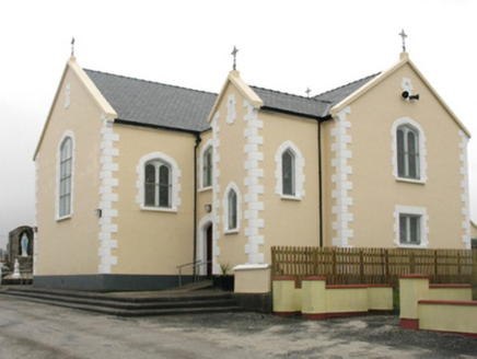 Saint Columkille's Catholic ChurchChurch/chapel · 12 mi
Explorer Tom Saint Columkille's Catholic Church in Gweesalia started because two lads bet on who could build it first. They probably…
 Fahy or Doona Castle in ruinsCastle, tower house · 15 mi
Explorer Tom Fahy or Doona Castle in ruins is hosting a fiddler who never left his post. He’s been playing since the last ice age…
 HouseHouse, fortified house · 15 mi
Explorer Tom House in Fahy would be the awkward uncle at the wedding, standing by the cake with no idea what's happening. It just…
 Black Rock LighthouseLighthouse keeper's house · 17 mi
Explorer Tom Black Rock Lighthouse on Black Rock Island is howling at the moon like it’s got stage fright. George Halpin Junior drew…
 Croaghaun sw TopMountain / peak · 18 mi
Explorer Tom Croaghaun sw Top was saved by a hero nobody remembers, who probably just stopped looking in the wrong direction for…
 Inis BigilIsland · 19 mi
Explorer Tom Inis Bigil sits between Achill and the Mayo mainland, close enough for me to promise an easy crossing and wise enough…
 Achill HeadMountain / peak · 19 mi
Explorer Tom Achill Head in County Mayo is where a love story went badly wrong because one partner forgot their umbrella. The rain…
 Keel BeachBeach / strand · 19 mi
Explorer Tom Keel Beach runs for kilometres beneath Achill's mountains, with Minaun's cliffs at one end and wide Atlantic air…
More archaeology and monuments in County Mayo · All of County Mayo

What do you know about this place?Tap to add a comment or ask a question