What is recorded here
At N end of summit of limestone ridge. According to local information tall circular tower demolished c. 1995. Area where tower stood now much disturbed- it lies c. 30m from edge of active stone quarry; no surviving remains of structure identified. Similar windmill (LI030-045---), c. 250m to SSE, also demolished c. 1995. The 1654-56 Civil Survey of Limerick recorded that LT. Coll. William Piggott was the owner of Kilfinny which contained 'a castle [LI030-048----] an orchard and a mill seate [LI030-043/-45----]' (Simington 1938, 289). Westropp (1906-7, 221-2) recorded the Kilfinny windmill; 'Jan., 1642. The C[astle]. was besieged by the Confederates under Edy Lacy, of Bruree, who laid an ambuscade, but was driven off by ten "mosceters" on a windmill. Gen. Purcell next arrived, who took the mill and barns, whence he was driven, and the buildings were burned in a sally, 8th and 9th. Ric. Stephenson, the sheriff, next assailed the C[astle]. and was shot. An attempt was made to capture it by "sows," but they were pierced through. It was then so loosely blockaded that Lady Dowdall relieved Croom five times from it. The surrender of Limerick C[astle]. gave heavy guns to the Confederates, so that Purcell, with a great force, assailed Kilfinny. After three shots Lady Dowdall surrendered, and was brought off safely by Lord Inchiquin (Hist. Irish Confeds. ii., p. 69, Deps. 138, 376). 1655 Killfinie C[astle]. orchard, and mill seat held by Gerott FitzGarrold (C.S., p. 46)'.
At N end of summit of limestone ridge. According to local information tall circular tower demolished c. 1995. Area where tower stood now much disturbed- it lies c. 30m from edge of active stone quarry; no surviving remains of structure identified. Similar windmill (LI030-045---), c. 250m to SSE, also demolished c. 1995. The 1654-56 Civil Survey of Limerick recorded that LT. Coll. William Piggott was the owner of…
From the National Monuments Service (Archaeological Survey of Ireland) record LI030-043
The monument record does not grant public access. Check the route and ask the landowner before entering private land.
- What survives
- Recorded monument
Places near here
Photo credits
- National Inventory of Architectural Heritage
- Colin Park, Geograph · CC BY-SA 2.0
- SteveODowd, Wikimedia Commons · CC BY-SA 4.0
- Mike Searle, Wikimedia Commons · CC BY-SA 2.0
- Mike Searle, Geograph · Creative Commons Attribution-ShareAlike 2.0
- EecherplazGinkgo06.jpg : Cayambe derivative work: Ginkgotree ( talk ), Wikimedia Commons · CC BY-SA 3.0
- Sitomon, Wikimedia Commons · CC BY-SA 2.0
- Peter Craine, Wikimedia Commons · CC BY-SA 2.0
- Callanmurphy, Wikimedia Commons · CC BY-SA 4.0
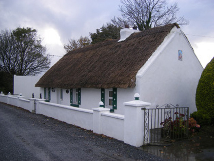 Leprechaun CottageHouse · 494 ydIndicatedFairy fort / earthen ringfort · 540 yd
 Ballynakill HouseCountry house · 916 ydKinnoor WellSpring · 1214 yd
 KnockfeerinaMountain / peak · 2.4 mi
 Dysert AenghusaHeritage attraction · 2.4 mi
 Lissamota CastleCastle · 2.6 mi
 Clonshire CastleCastle · 3.7 mi
 Ginkgo3.7 mi
 European Yew3.8 mi
 Adare Desmond CastleMedieval castle · 4.3 mi
 Franciscan AbbeyArchaeological place · 4.3 mi
More archaeology and monuments in County Limerick · All of County Limerick
What do you know about this place?