What is recorded here
In pasture, in gently undulating terrain. Roughly circular area (diam. c. 30m) enclosed by earthen bank SSW->N and NE->ENE, otherwise bank has been removed. A dry-stone field wall abuts enclosure at SSW, but other field boundaries which abutted enclosure at N, NE and E have been removed. Interior is flat and under pasture.
From the National Monuments Service (Archaeological Survey of Ireland) record LI030-009
This remains an important historical record, but the official description says the monument is no longer visible or has been destroyed. The monument record does not grant public access. Check the route and ask the landowner before entering private land.
- What survives
- No visible remains or recorded as destroyed
Places near here
Photo credits
- National Inventory of Architectural Heritage
- Mike Searle, Wikimedia Commons · CC BY-SA 2.0
- Colin Park, Geograph · CC BY-SA 2.0
- SteveODowd, Wikimedia Commons · CC BY-SA 4.0
- Mike Searle, Geograph · Creative Commons Attribution-ShareAlike 2.0
- EecherplazGinkgo06.jpg : Cayambe derivative work: Ginkgotree ( talk ), Wikimedia Commons · CC BY-SA 3.0
- Sitomon, Wikimedia Commons · CC BY-SA 2.0
- Peter Craine, Wikimedia Commons · CC BY-SA 2.0
- Callanmurphy, Wikimedia Commons · CC BY-SA 4.0
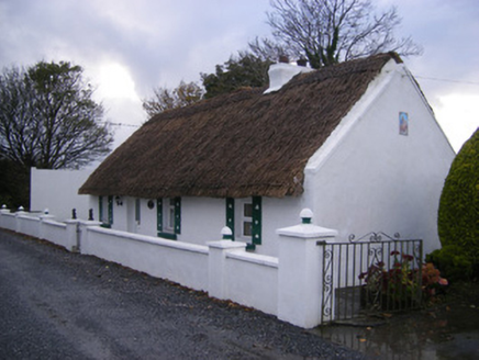 Leprechaun CottageHouse · 47 ydWindmill540 yd
 Ballynakill HouseCountry house · 1253 ydKinnoor WellSpring · 1747 yd
 Lissamota CastleCastle · 2.3 mi
 KnockfeerinaMountain / peak · 2.4 mi
 Dysert AenghusaHeritage attraction · 2.7 mi
 Clonshire CastleCastle · 3.4 mi
 Ginkgo3.7 mi
 European Yew3.8 mi
 Adare Desmond CastleMedieval castle · 4.3 mi
 Franciscan AbbeyArchaeological place · 4.3 mi
More archaeology and monuments in County Limerick · All of County Limerick
What do you know about this place?