
What is recorded here
Situated at the crest of a slight slope down to the W on a fairly level landscape. Archaeological centre-line testing (04E0475) by E. Cotter (2004) prior to the construction of the M3 motorway identified a circular stone structure (excavations.ie: 2004:1320) and associated industrial activity that was fully excavated…
Read the whole record
From the National Monuments Service (Archaeological Survey of Ireland) record ME044-069
Places near here
Photo credits
- C O'Flanagan, Geograph · Creative Commons Attribution-ShareAlike 2.0
- Maker not stated on source page, www.gettyimages.com
- National Inventory of Architectural Heritage
- Maker not stated on source page, www.irishamericanmom.com
- Maker not stated on source page, en.wikipedia.org
- Maker not stated on source page, www.tripadvisor.com
- Maker not stated on source page, www.pinterest.com
- C O'Flanagan, Geograph · CC BY-SA 2.0
 Dunshaughlin Union WorkhouseWorkhouse administration block · 898 yd
Explorer Tom Dunshaughlin Union Workhouse had a fiddler who played all night because he was too scared to sleep. The governor’s…
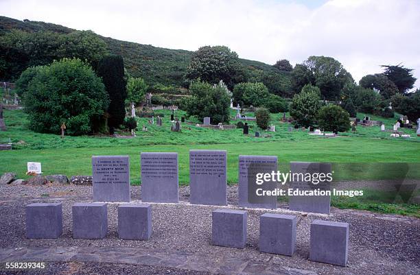 Famine GraveyardGraveyard · 957 yd
Explorer Tom Famine Graveyard is where I think the mapmaker accidentally swapped it with a field somewhere else, so it ended up in…
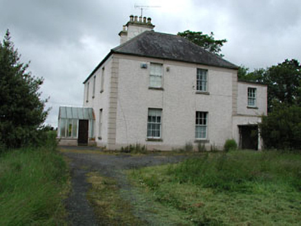 Seachnall HouseFarm house · 1188 yd
Explorer Tom Seachnall House in Dunshaughlin ended up here because the map had a smudge of jam on it. It’s got timber sash windows…
 Fairy fort / earthen ringfort in DunshaughlinFairy fort / earthen ringfort · 1558 yd
Explorer Tom Fairy fort / earthen ringfort in Dunshaughlin witnessed a love story that ended with someone throwing a shoe. It landed…
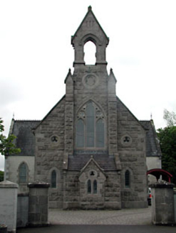 Dunshaughlin LibraryChurch/chapel · 1651 yd
Explorer Tom Dunshaughlin Library is actually a church that got confused about its career path. It would survive a zombie attack by…
 water pump1691 yd
Explorer Tom Water pump in Dunshaughlin is standing on Main Street looking all decorative with its banding and fluting. It used to…
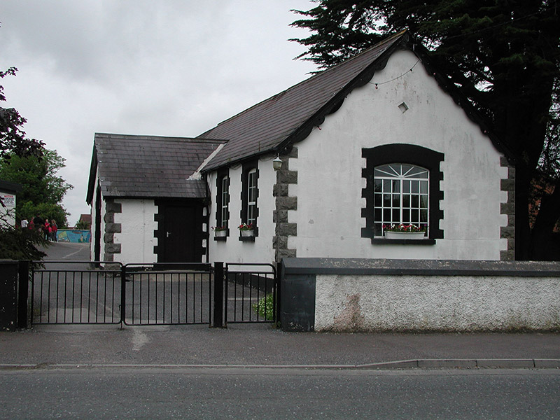 Dunshaughlin National SchoolSchool · 1710 yd
Explorer Tom Dunshaughlin National School in Dunshaughlin is built on top of a legend about a giant who lost his keys. The 1887 date…
 Enclosure in RathreganEnclosure · 1.3 mi
Explorer Tom Enclosure in Rathregan has a favourite song that’s just the wind whistling through its rectangular walls. It’s small…
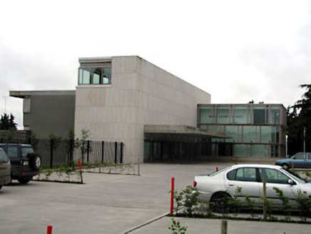 Dunshaughlin Civic OfficesOffice · 1.3 mi
Explorer Tom Dunshaughlin Civic Offices in Dunshaughlin thinks it’s too cool to need heating or cooling, which is bold for an office…
 Fairy fort / earthen ringfort in RathreganFairy fort / earthen ringfort · 1.4 mi
Explorer Tom Fairy fort / earthen ringfort in Rathregan sits on a plateau edge overlooking the River Tolka like it owns the view and…
 Fairy fort / earthen ringfort in PowderloughFairy fort / earthen ringfort · 1.4 mi
Explorer Tom Fairy fort / earthen ringfort in Powderlough has been hiding a huge scandal for centuries. Nobody knows what it is…
 RuinChurch · 1.5 mi
Explorer Tom Ruin in Rathregan would absolutely win a county fair for most derelict building, hands down. It’s right up on the slope…
More archaeology and monuments in County Meath · All of County Meath

What do you know about this place?Tap to add a comment or ask a question