What is recorded here
Westmeath Way is recorded as a walking route in County Westmeath. Its open map record supplies this location and any linked names or public references.
Places near here
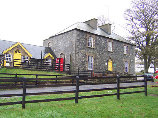 Lilliput Househouse · 929 yd
 CastleCastle, tower house · 1169 yd
 OutlinedEnclosure · 1379 yd
 Partially hachuredFairy fort / earthen ringfort · 1472 yd
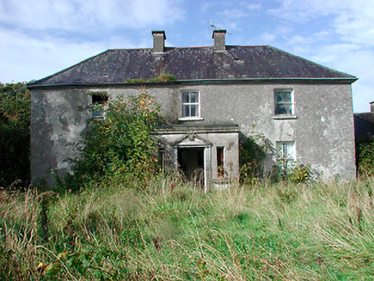 Kilcooley Housefarm house · 1.1 mi
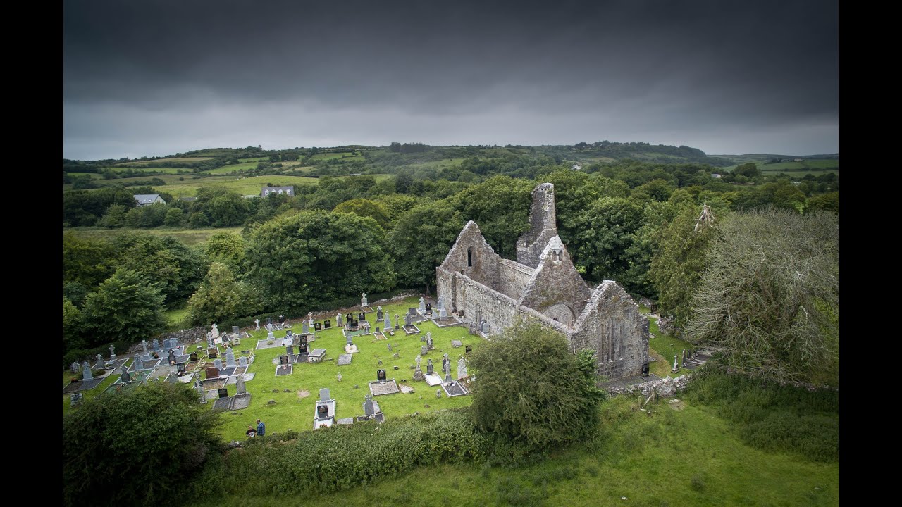 Bawn in Dysart (moyashel & Magheradernon By.)Bawn · 1.1 mi
 Dysart IslandIsland · 1.4 mi
 Ash IslandIslet · 1.6 mi
 Ardan WoodWood · 6.3 mi
 Bonfire HillMountain / peak · 6.7 mi
 Kilmalady HillMountain / peak · 8.7 mi
 High WoodWood · 9.1 mi