
What is recorded here
Situated at the top of a steep slope at an OS spot height (318ft/97m OD), overlooking the eastern shoreline of Lough Ennell, c. 200m to NW and with magnificent views to W and N. Monument described in 1978 as a D-shaped area (dims. 29m N-S; 27m E-W) enclosed by an earthen bank and external fosse. The bank is low and is visible from NW-N-NE and from SW-W-NW. The perimeter is formed along the straight side to E by a modern hedgerow running N-S. The fosse is visible from NNW-N-NNE and is absent elsewhere. There is no indication of an entrance. There is a steep natural slope outside the fosse to N. There is a low scarp with traces of stone facing at the foot of the bank from SSE-S-SW which may be the remnants of a field fence depicted at this location on the revised 1913 ed. OS 25” map. The edge of the bank and a small part of the interior has been dug away at NNE. The interior has a slight S-facing slope with some stone visible on the surface yet no recognisable features.
Compiled by Alison McQueen, Vera Rahilly and Caimin O’Brien.
Date of upload: 27 September 2019
The monument record does not grant public access. Check the route and ask the landowner before entering private land.
- What survives
- Recorded monument
Places near here
 Cherry IslandCrannog · 505 yd
 OutlinedEnclosure · 546 yd
 Robinstown CastleCastle · 1039 yd
 FriaryReligious house, Dominican friars · 1411 yd
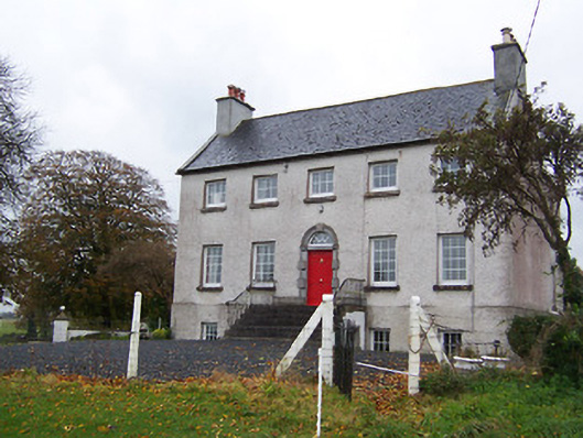 Robinstown Housecountry house · 1557 yd
 CastleCastle, tower house · 1.1 mi
 Dysart IslandIsland · 1.3 mi
 Blind IslandIslet · 1.5 mi
 Mollie Moo's Pet FarmHeritage attraction · 1.9 mi
 Belvedere house and gardensVisitor information · 2.2 mi
 Ardan WoodWood · 6.5 mi
 Bonfire HillMountain / peak · 7.1 mi
Other information
Photo: Credit not shown in the picture search · Rights wording not checked; contact us if this picture should be removed