What is recorded here
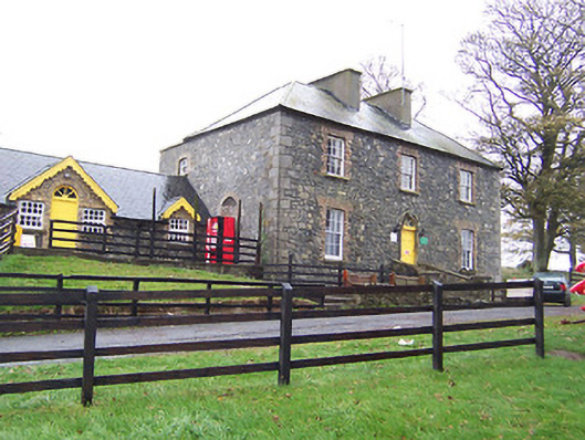
Detached three-bay two-storey over basement house, built c.1820, having two-storey additions to the south gable end and to the rear (west). Now in use as an outdoor pursuits centre. Pitched artificial slate roof with a central pair of rendered chimneystacks. Constructed of rubble limestone, originally rendered, having (flush) roughly dressed quoins to the corners and brick dressings to the window openings. Square-headed window openings having six-over-six pane timber sliding sash windows. Central round-headed doorcase to the front façade (east) having cut stone architraved surrounds with fluted impost posts and a keystone over. Replacement timber door with a spoke fanlight over. Flight of cut stone steps flanked by rubble limestone parapet walls gives access to doorway over basement level. Segmental-headed carriage to the rear (west) having cut stone voussoirs. Set back from road in extensive grounds on the west shore of Lough Ennell with extensive views over the lake to the east. Located to the east of Castletown Geoghegan.
A typically well-proportioned late-Georgian house, which retains much of its early character and form despite extensive alterations to accommodate new use as an adventure centre in recent years. It retains much of its early fabric, including a good quality doorcase of artistic merit, but much of the historic veneer has been eroded by the removal of the original roof and the render finish in recent years. The heavily altered extension to the south was probably built in the late nineteenth-century (map information) and the carriage arch to the rear (west) suggests that it may have been built as a coach house and/or outbuilding. This house is very well sited with glorious views over Lough Ennell to the east and adds extra historic incident to its scenic rural location. Lilliput House was in the ownership of a Andrew Savage Nugent, Esq., in 1837 and was described as 'uninhabited' at this time (Lewis 1837).
This does not grant access. Most recorded buildings are privately owned; view them only from public ground unless the owner allows entry.
Places near here
 Derrynafola FortFairy fort / ringfort · 1360 yd
 CastleCastle, tower house · 1510 yd
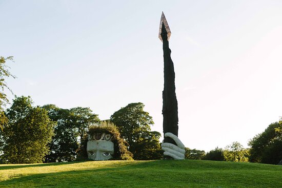 Hachured, Dun-na-SgiathFairy fort / earthen ringfort · 1.0 mi
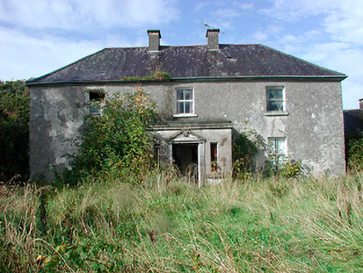 Kilcooley Housefarm house · 1.2 mi
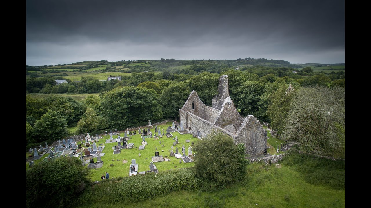 Bawn in Dysart (moyashel & Magheradernon By.)Bawn · 1.3 mi
 Newells Bridgebridge · 1.3 mi
 Dysart IslandIsland · 1.7 mi
 Ash IslandIslet · 1.9 mi
 Ardan WoodWood · 6.2 mi
 Bonfire HillMountain / peak · 6.6 mi
 Kilmalady HillMountain / peak · 8.2 mi
 High WoodWood · 8.8 mi
Other information
Photo: National Inventory of Architectural Heritage · Website use allowed for educational or private purposes with source credit