
What is recorded here
Monument recorded as ‘Derraugh na Foallagh Fort’ in the Ordnance Survey Field Name Books of Castletownkindalen (2019 pt. 2) and depicted on the Ordnance Survey first edition map as ‘a circular enclosure delimited by a broken line’ (SMR File). Monument surveyed by ASI in 1971 and described as following; 'Completely demolished. The site is a slight rise in a corn field. No trace of an antiquity on the surface. The owner of the land told me that the site was very stony when he was cultivating it and that he removed many stones from it’ (SMR File 23/06/1971). Depicted as a circular earthwork with a broken line and annotated 'Derrynafola Fort' on the first ed. OS 6-inch map. Not indicated on any subsequent editions of the OS maps.
Compiled by: Caimin O'Brien
Date of upload: 13 February 2013
A local fairy fort (ringfort/rath); wider significance not recorded.
The monument record does not grant public access. Check the route and ask the landowner before entering private land.
- What survives
- Recorded monument
Places near here
 Newells Bridgebridge · 1005 yd
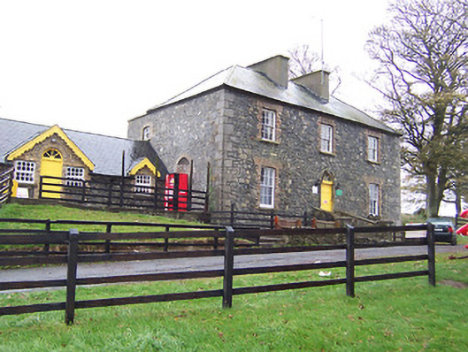 Lilliput Househouse · 1360 yd
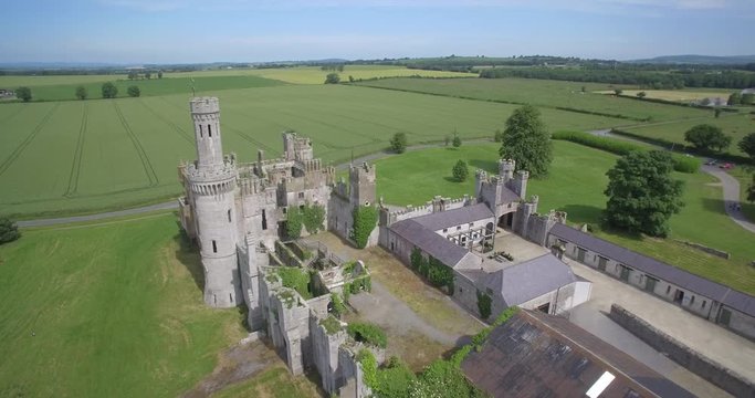 Enclosure in FriarstownEnclosure · 1.1 mi
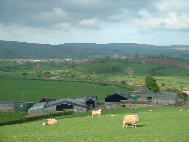 Hachured, ShantullaghFairy fort / earthen ringfort · 1.2 mi
 CastleCastle, tower house · 1.5 mi
 Robinstown CastleCastle · 1.8 mi
 Ardan WoodWood · 5.5 mi
 Bonfire HillMountain / peak · 5.9 mi
 Kilmalady HillMountain / peak · 8.0 mi
 High WoodWood · 8.2 mi
 St. Columba's WellSpring · 8.4 mi
 ToberaskeenSpring · 11 mi
Other information
Photo: Credit not shown in the picture search · Rights wording not checked; contact us if this picture should be removed