
What is recorded here
Places near here
Photo credits
- Liz McCabe, Geograph · CC BY-SA 2.0
- National Inventory of Architectural Heritage
- David Farrell Photography, as credited in Western People caption, www.westernpeople.ie
- Maker not stated on source page, www.dailymail.co.uk
- Maker not stated on source page, commons.wikimedia.org
- Maker not stated on source page, uk.pinterest.com
- Maker not stated on source page, roaringwaterjournal.com
- Maker not stated on source page, au.pinterest.com
- Western People; photographer not stated (Stuart Tynan is article author), www.westernpeople.ie
- Maker not stated on source page, www.dreamstime.com
- Suzanne Mischyshyn, Geograph · CC BY-SA 2.0
 BurrenMountain / peak · 1.3 mi
Explorer Tom Burren would say to the place that replaced it, 'You can’t beat original rock,' even though it’s basically just a big…
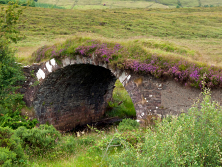 bridge1.4 mi
Explorer Tom Bridge in Burren [Carr. By. Aglish Ph.] was saved by a hero nobody remembers anymore, probably because he was too busy…
 Padraig Garrett Memorial Park, Bofeenaun, Lahardane MacHales GAAGAA ground · 2.1 mi
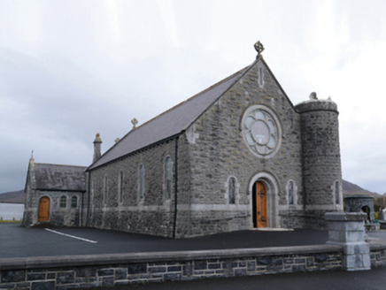 Saint Mary's Catholic ChurchChurch/chapel · 2.1 mi
Explorer Tom Saint Mary's Catholic Church in Curraghmore was designed by William Henry Byrne and Son, who clearly knew how to make a…
 Bofeenaun GraveyardCemetery · 2.2 mi
Explorer Tom Bofeenaun Graveyard is stuck in a bitter feud with a nearby hill about who has the best sunset views. It’s been going…
 TombTomb, unclassified · 3.2 mi
Explorer Tom Tomb in Derrylahan inspired a bad poem about mud and regret, which is still sung at weddings. No record exists, so I’m…
 Bush IslandIslet · 4.7 mi
Explorer Tom This third Bush Island in County Mayo is listening to what the seagulls say about its character, which isn’t kind.…
 Knockfarnaght Stone Circles and CromlechHut site · 4.8 mi
Explorer Tom This hut site in Knockfarnaght was where the Vikings got hopelessly lost looking for it. They walked past it three…
 Coarse IslandIslet · 5.2 mi
Explorer Tom Coarse Island would complain to the council that its name is too literal for a tourist destination. It’s got that…
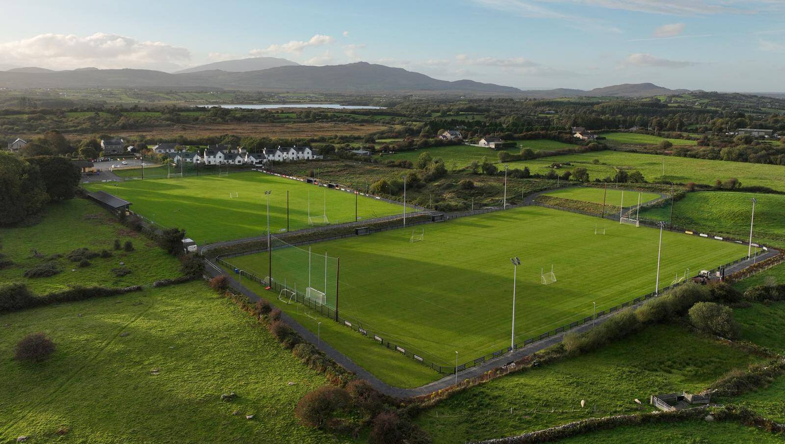 Parke, Parke-Keelogues-Crimlin GAAGAA ground · 5.8 mi
 MacPhilbins Castle (in ruins)Castle, tower house · 13 mi
Explorer Tom MacPhilbins Castle would win a county fair by simply existing and looking impressive while doing nothing. It’s a tower…
 Tawny RowerMountain / peak · 23 mi
Explorer Tom Tawny Rower in County Mayo is the kind of peak Saint Patrick would have looked at and said, 'Right then, this one needs…
More walking routes in County Mayo · All of County Mayo

What do you know about this place?Tap to add a comment or ask a question