
What is recorded here
Situated on a NW-facing slope overlooking Lough Lea c. 200m to the NW, and within the enclosure (RO023-165001-) attached to rath (RO023-165----). It was excavated (10E0328) by Derek Gallagher in advance of development (Ó Séaghdha 2010; Gallagher 2013). The burnt mound material (RO023-165002-)) also overlay a well at…
Read the whole record
From the National Monuments Service (Archaeological Survey of Ireland) record RO023-165003
Places near here
Photo credits
- Gaelic Athletic Association (publisher); individual photographer not named, www.gaa.ie
- National Inventory of Architectural Heritage
- John M, Geograph · CC BY-SA 2.0
- Golfing in Ireland; photographer not stated, Source publisher
- Miguel Angel Masegosa Martínez, Wikimedia Commons · CC BY 2.0
- Algirdas at Lithuanian Wikipedia, Wikimedia Commons · Public domain
- Maker not stated on source page, en.wikipedia.org
- John M, Wikimedia Commons · CC BY-SA 2.0
- Christopher Hilton, Wikimedia Commons · CC BY-SA 2.0
- Maker not stated on source page, commons.wikimedia.org
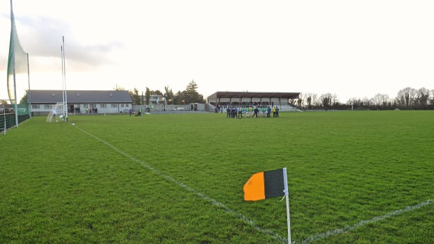 Strokestown GAA GroundsGAA ground · 243 yd
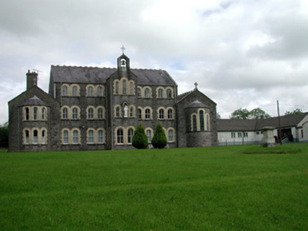 Convent of MercyConvent/nunnery · 300 yd
Explorer Tom Convent of Mercy in Lisroyne had a cow try to buy it once because the windows looked like a nice stable. It’s got that…
 Saint John's Church (Bumlin)Church/chapel · 458 yd
Explorer Tom Saint John’s Church in Bumlin has a dating profile that says ‘Octagonal, loves pinnacles, no drama, but I do have a…
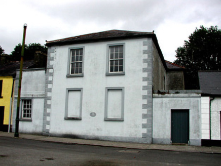 Strokestown CourthouseCourt house · 571 yd
Explorer Tom Strokestown Courthouse has been feuding with the rain since the War of Independence, and it’s still losing every single…
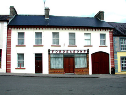 Forde and SonsHouse · 758 yd
Explorer Tom House in Lisroyne on Church Street thinks tourists from Dublin are just fancy tourists who forgot how to walk straight…
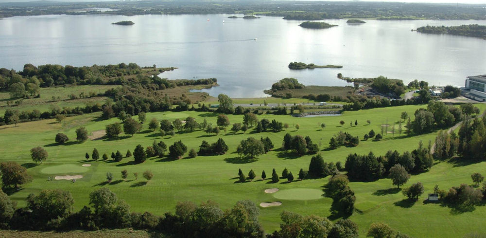 Strokestown Golf ClubGolf course · 958 yd
 Sweet Chestnut1001 yd
Explorer Tom Sweet Chestnut in County Roscommon decided to give up its acorns for Lent this year because it felt they were too heavy…
 Pedunculate Oak1075 yd
Explorer Tom Pedunculate Oak in County Roscommon is being claimed by a local who swears he invented it back in his youth, which is a…
 Linear earthwork in KildallogeLinear earthwork · 1163 yd
Explorer Tom Linear earthwork in Kildalloge was built on a bargain that nobody can quite remember anymore. It snakes through five…
 Strokestown HouseMuseum · 1276 yd
Explorer Tom Strokestown House again? Its first owner’s escape plan involved hiding in the chandelier, which is either brilliant or…
 Strokestown House GardensHeritage attraction · 1447 yd
Explorer Tom Strokestown House Gardens has a superstition that says if you step on a specific leaf, your next holiday will be…
 Earthwork in Newtown (roscommon By.)Earthwork · 1706 yd
Explorer Tom Earthwork in Newtown is a forty-five-metre circle that decided to quit its job and become a pond instead of a fortress.…
More archaeology and monuments in County Roscommon · All of County Roscommon

What do you know about this place?Tap to add a comment or ask a question