What is recorded here
Situated on a level landscape c. 90m W of earthwork (RO015-033----) and within a coniferous forest. A drystone-lined well (int. diam. 0.5m; ext. diam. 1.5m; D 0.7m) had been covered with large slabs, one of which (dims 0.95m x 0.3-0.7m; T 5-10cm) is still present, although it has slipped into the entrance approach from the S. The well was probably associated with the single house that is marked only on the 1914 ed. of the OS 6-inch map c. 30m to the S.
Compiled by: Michael Moore
Date of upload: 12th May 2011
The monument record does not grant public access. Check the route and ask the landowner before entering private land.
- What survives
- Recorded monument
Places near here
 Not inidicatedFairy fort / earthen ringfort · 123 yd
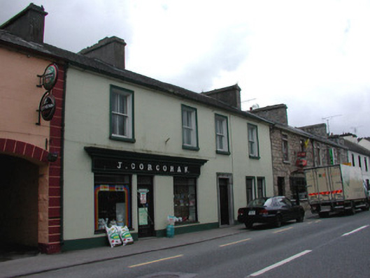 J. Corcoranhouse · 1114 yd
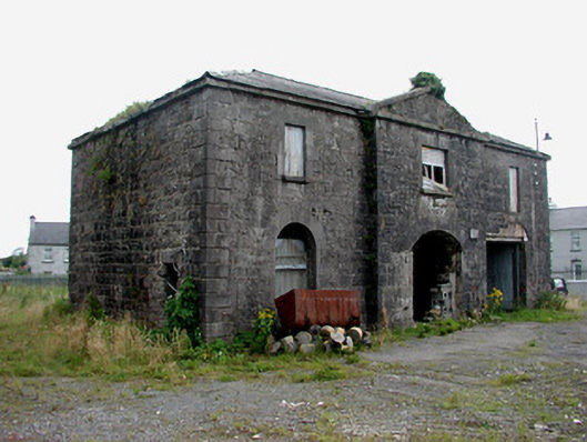 Frenchpark Market Housemarket house · 1143 yd
 Stone CrossCross, High cross · 1496 yd
 Frenchpark Ho.Castle, unclassified · 1755 yd
 Gray's WoodForest · 1.8 mi
 Square WoodForest · 1.9 mi
 GortnacushlaunCastle, unclassified · 2.2 mi
 Fairymount HillMountain / peak · 3.3 mi
 Bawn IslandIslet · 3.8 mi
 Rose PointHeadland · 5.3 mi
 Castle PointHeadland · 6.1 mi