What is recorded here
A well was revealed during an archaeological excavation at Bank Place. It is stone-lined, roughly circular in plan (dims. 0.8m x 0.84m) and constructed of undressed limestone blocks, possibly earth bonded. The well shaft was excavated to 0.5m below the present ground surface (O'Donnell 2000, unpublished). There was no dating evidence for this well which may be pre-1700 in date.
Compiled by: Jean Farrelly
Date of upload: 05 August 2014
The monument record does not grant public access. Check the route and ask the landowner before entering private land.
- What survives
- Recorded monument
Places near here
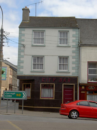 Callagy City Barhouse · 71 yd
 fountainfountain · 74 yd
 Structure in CashelStructure · 108 yd
 Cashel Folk MusuemMuseum · 110 yd
 Black mulberryBlack mulberry · 197 yd
 Ladys WellHoly well · 306 yd
 The Rock Of CashelVisitor information · 316 yd
 Cormac's ChapelHeritage attraction · 373 yd
 Ballyknock HillMountain / peak · 1.3 mi
 Site of CastleCastle, unclassified · 2.0 mi
 Gortmakellis CastleCastle · 2.1 mi
 European ashEuropean ash · 5.1 mi