What is recorded here
One of four weirs listed in the SMR (1989) as ‘Weir(s)’; the location of these was unknown. This is one of seven records for weirs (SL026-122----; SL026-126-----; SL026-130----; SL026-159-----; SL026-159001-; SL026-159002-; SL026-159003-) recorded in the SMR whose only source is noted as ‘Marked on estate map dated 1618’ (SMR file). It has not proved possible to identify this map and the location of this weir is unknown.
Compiled by: Paul Walsh
Date of upload: 18 October 2011
The monument record does not grant public access. Check the route and ask the landowner before entering private land.
- What survives
- Recorded monument
Places near here
 Holy well in Annagh More (leyny By.)Holy well · 1 yd
 Knocknahook fortFairy fort / earthen ringfort · 155 yd
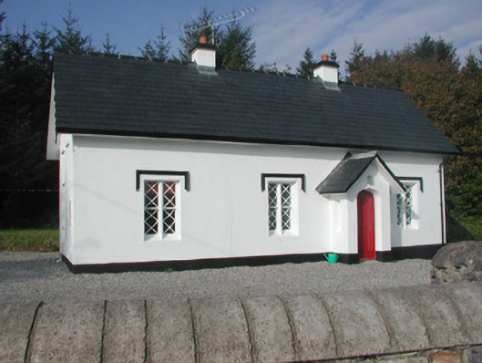 Annaghmore Housegate lodge · 562 yd
 Castle (Site of)Castle, unclassified · 1357 yd
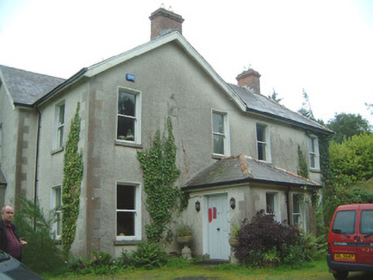 Heathfield Househouse · 1364 yd
 Moymlough Castle (in Ruins)Castle, tower house · 2.1 mi
 European ashEuropean ash · 2.5 mi
 CroaghaunMountain / peak · 3.1 mi
 James MorrisonMemorial · 3.2 mi
 Tullaghan HillMountain / peak · 3.2 mi
 ElderElder · 4.1 mi
 RinnatalleenHeadland · 4.8 mi