
What is recorded here
In pasture, on top of a ridge with extensive views. A slightly raised circular area (30m N-S; 28.5m E-W) defined by a scarp (H 1m). The scarp is well preserved N-S where it serves as a property division and it is topped with a post and wire fence. Elsewhere the scarp is degraded and gapped and lined with hawthorn bushes. The presence of a fosse may be indicated SW-NW by a band (Wth c. 2m) of particularly wet ground in an area that is generally damp and boggy. The interior is mostly level but it dips close to the scarp at SW-W.
The above description is derived from the published 'Archaeological Inventory of County Sligo' compiled by Ursula Egan, Elizabeth Byrne, Mary Sleeman with Sheila Ronan and Connie Murphy (Dublin Stationery Office, 2005).
Date of upload: 18 January 2008
The monument record does not grant public access. Check the route and ask the landowner before entering private land.
- What survives
- Recorded monument
Places near here
 Holy well in Annagh More (leyny By.)Holy well · 155 yd
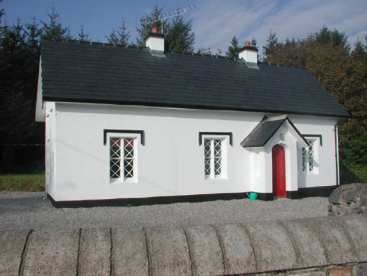 Annaghmore Housegate lodge · 615 yd
 Indicated (1838).Enclosure · 974 yd
 Castle (Site of)Castle, unclassified · 1211 yd
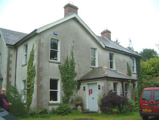 Heathfield Househouse · 1459 yd
 Moymlough Castle (in Ruins)Castle, tower house · 2.2 mi
 European ashEuropean ash · 2.4 mi
 James MorrisonMemorial · 3.1 mi
 CroaghaunMountain / peak · 3.2 mi
 Tullaghan HillMountain / peak · 3.3 mi
 ElderElder · 4.2 mi
 RinnatalleenHeadland · 4.8 mi
Other information
Photo: Credit not shown in the picture search · Rights wording not checked; contact us if this picture should be removed