What is recorded here
Situated on the lower reaches of the N-S Cloone River, also known as the Lurga River before it enters Lough Rinn. An estate map (Wogan 1750, 22) depicts an eel weir between Lough Errew and Lough Rinn. The river is now a narrow channel, and the precise location of the weir cannot be identified.
Compiled by Michael Moore
Date of upload: 18 October 2010
Amended: 7 January 2020
The monument record does not grant public access. Check the route and ask the landowner before entering private land.
- What survives
- Recorded monument
Places near here
 Holm OakHolm Oak · 140 yd
 Western HemlockWestern Hemlock · 256 yd
 Druid's AltarArchaeological place · 322 yd
 CastleCastle, tower house · 359 yd
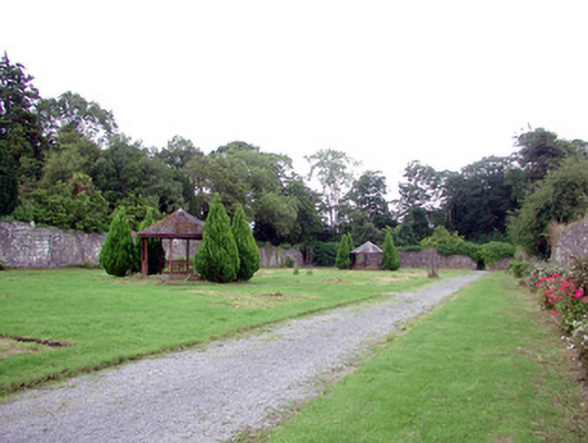 Lough Rynn Housewalled garden · 364 yd
 Duck IslandIslet · 779 yd
 Little IslandIslet · 845 yd
 Holy WellHoly well · 1134 yd
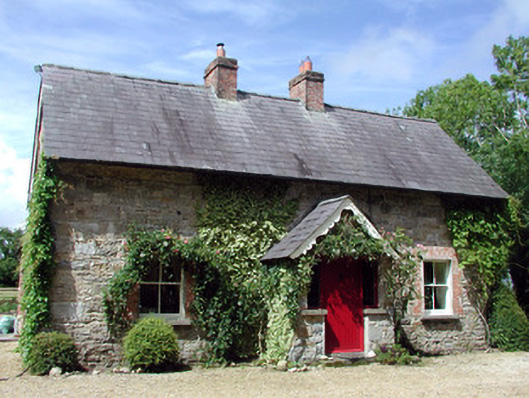 Errew Cottageworker's house · 1150 yd
 Giant's GraveArchaeological place · 1.3 mi
 OratoryCastle, tower house · 1.6 mi
 Turlough O'Carolan MonumentHeritage attraction · 2.2 mi